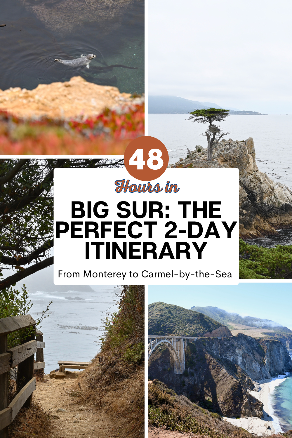
48 Hours in Big Sur: The Perfect 2-Day Itinerary from Monterey to Carmel-by-the-Sea | Complete Guide
THIS POST MAY CONTAIN AFFILIATE LINKS. WHEN YOU CLICK ON THESE LINKS WE RECEIVE COMPENSATION, AT NO EXPENSE TO YOU, THAT HELPS THIS BLOG RUN. ALL OPINIONS ARE OUR OWN.
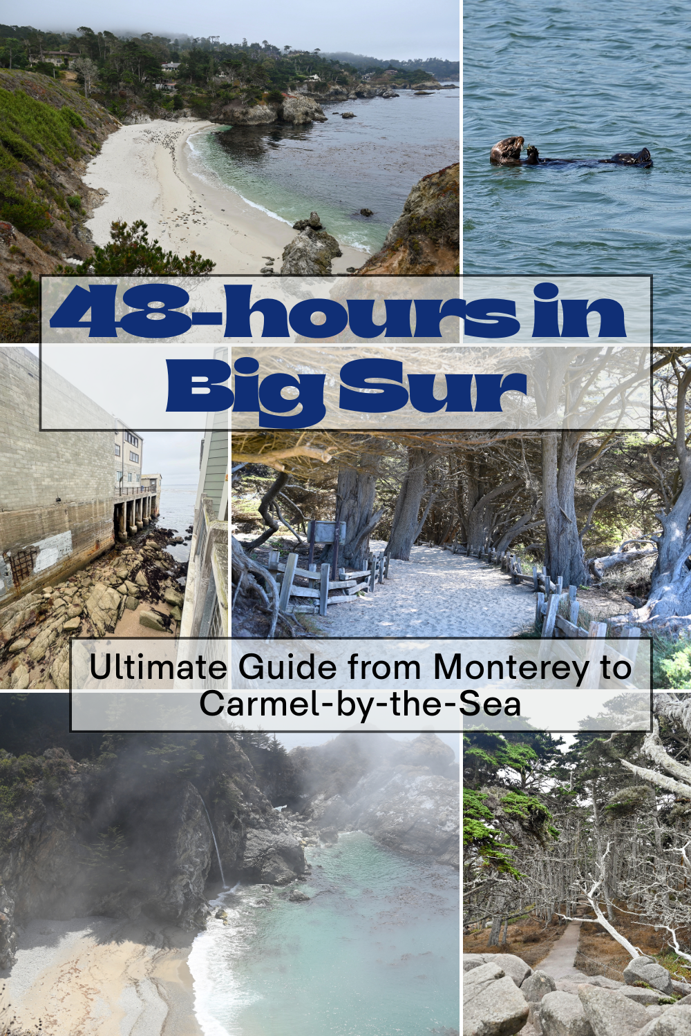
One of the most beautiful sections of the California coast is the Monterey region in the central coast that includes Big Sur, Carmel-by-the-Sea, and Monterey. A weekend trip here means dramatic and jaw-dropping coastal views, adorable animal encounters, picturesque towns, delicious meals and a relaxed atmosphere. This area has a lot to offer, but how do you best maximize your time if you just have 48 hours to explore? This is the perfect trip to do if you want a vacation without using PTO. This guide will give you all the details about the best places to stay from budget conscious choices to luxury accommodations; our hour to hour itinerary with tips; extra places to visit if you have more time; and more.
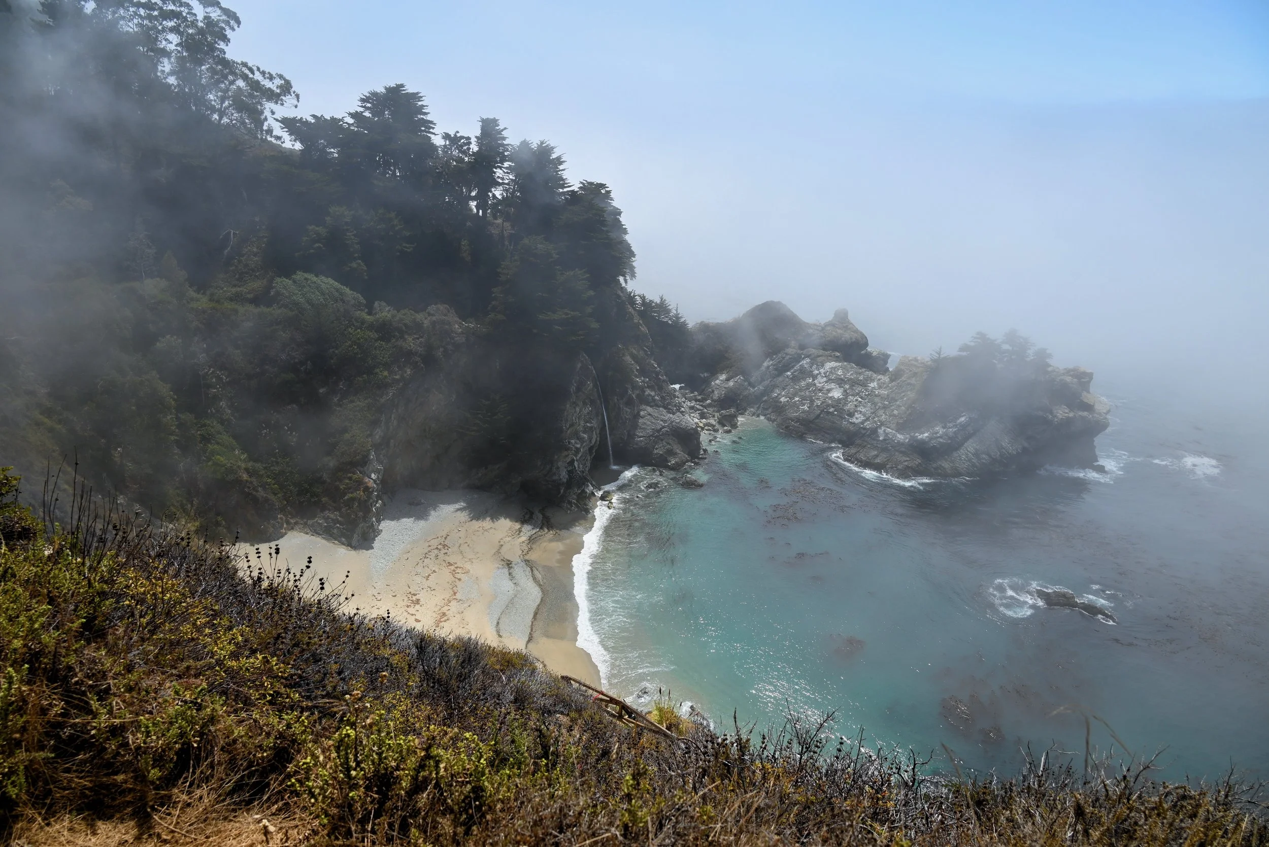
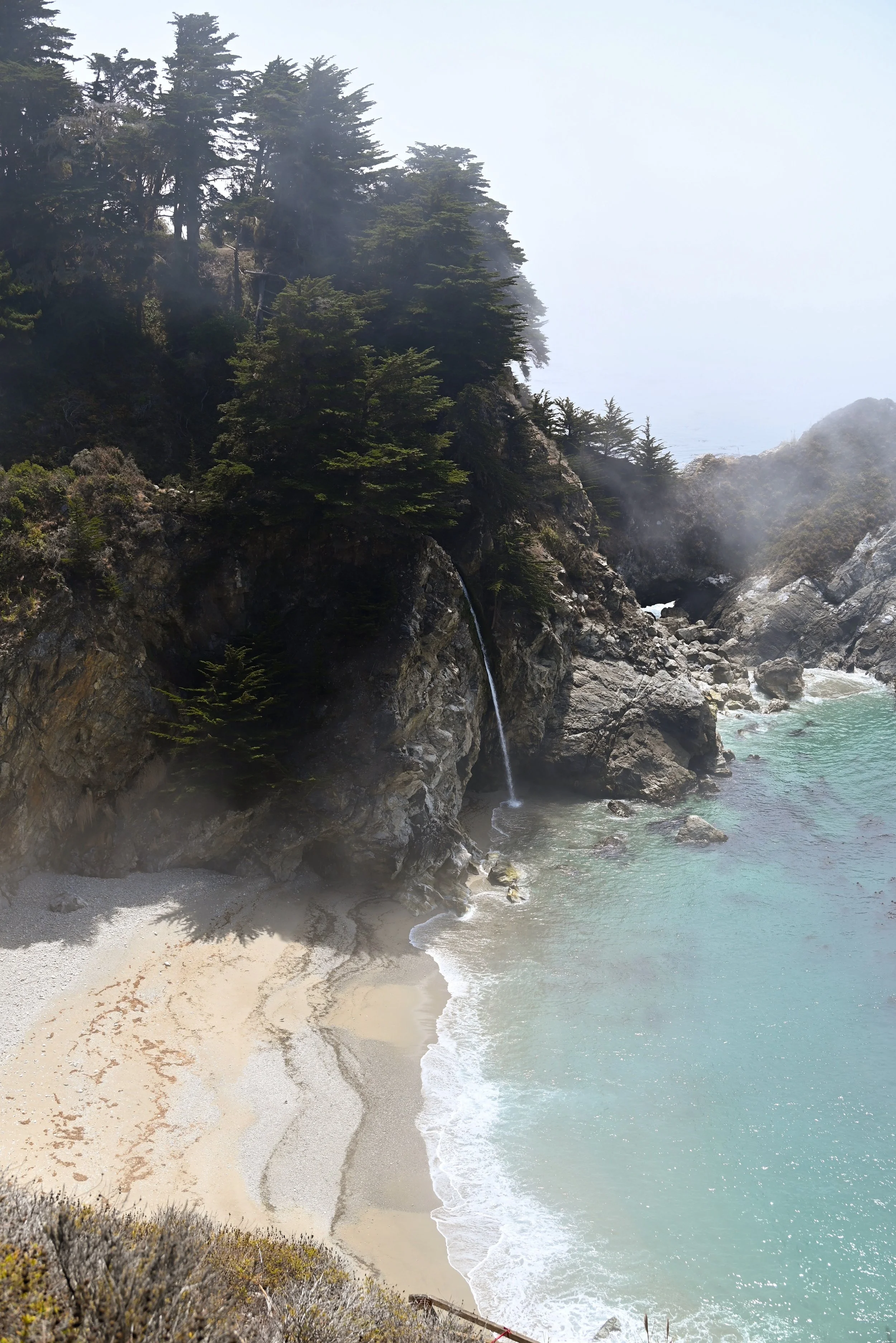
McWay Waterfall in Julia Pfeiffer Burns State Park
How to get there
There are a few options of how to get to the Big Sur area and the best choice is dependent on your priorities and where you are coming from. If you are within driving distance, there is a big advantage to driving as you will need a car once you are there. If you are flying in, there are three airports to consider:
MRY – Monterey Regional Airport. This small airport sees only about 12 commercial flights a day. This airport is the closest to the area and by far the most convenient. It is just a 10 minute drive from the airport to downtown Monterey. However, arriving into this airport likely only makes sense if you live near a hub airport like LAX, SFO, DFW or SEA. We got a direct flight into this airport on Alaska Airlines from its hub airport, SEA. Our flight ended up being a comparable price to a flight into either of the following airports. Flying into the MRY airport was my first experience of a plane doing a go-around. The marine fog was so thick that we didn’t have any visibility of the ground until we were just over the airport. However, this is quite rare.
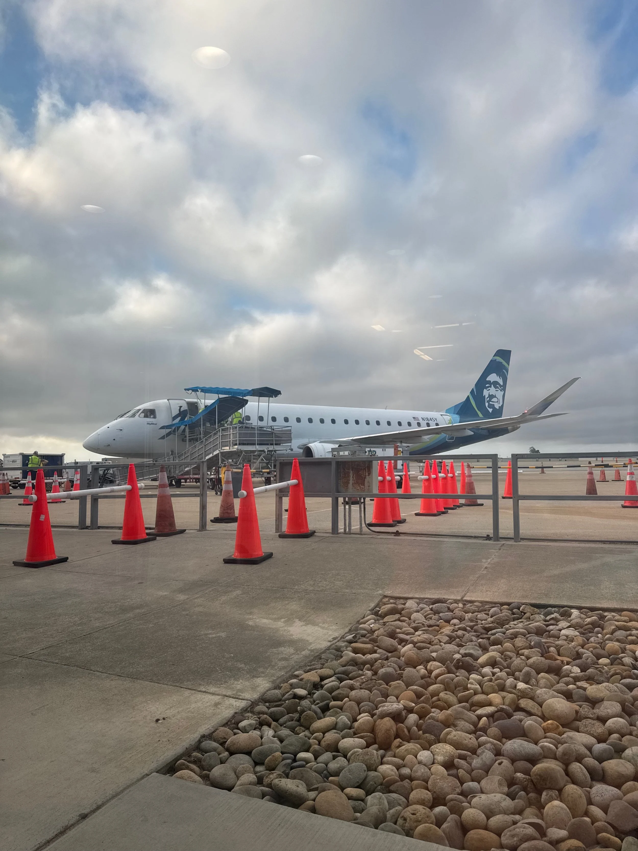
Alaska Airlines plane at MRY, Monterey Regional Airport
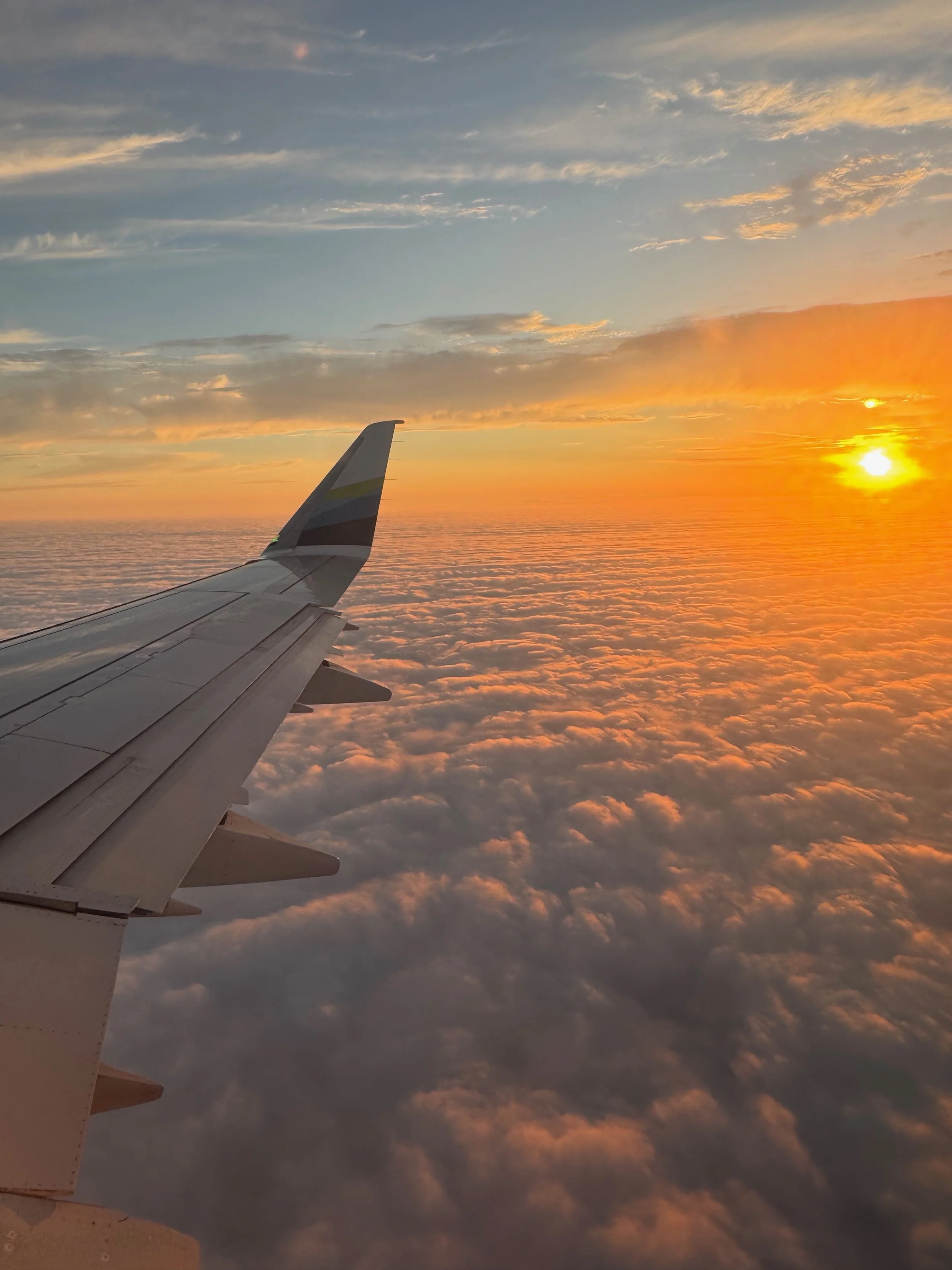
Dense fog cover over MRY, Monterey Regional Airport at Sunset
SJC – San Jose Mineta International Airport. The closest larger airport to the area is SJC, at about 75 miles or a 1.5 hour or more drive depending on traffic.
SFO – San Francisco International Airport. Another large international airport with the most cross-country flight options. About a 2-3 hour drive to the Big Sur/Monterey area depending on traffic.
If you have more time for your trip, Monterey/Big Sur is a great addition to a longer California adventure exploring San Francisco or other areas of California like Yosemite National Park.
Where to Stay
We stayed at the Hyatt Regency Monterey Hotel and loved our time here. It was a short drive from the MRY airport, the rooms were large, had a nice pool, and lots of amenities like a spa and golf course. This area of the California coast is a popular travel destination and there are a plethora of accommodation options. There are 3 areas that I would recommend staying in, here are the pros and cons and accommodation recommendations for each. Each of these areas is often just about 10 minutes away from each other but present such distinct vibes. Which you choose depends on who you are travel with and your travel preferences.
Monterey
Monterey is the place you want to be if your trip is going to be focused on activities or you are looking for the best value. Monterey is home to the Monterey Bay Aquarium, Old Fisherman’s Wharf and numerous whale-watching tours or sailing trips. It is also the largest city and has more of a commercial or city vibe. There is also the largest selection and variety of hotels from motels to chain hotels to waterfront resorts. If you are a family and your main draw to the area is the aquarium and the historic downtown, stay in Monterey. If you are a budget traveler and want a centrally located accommodation, choose Monterey. Along with the Hyatt Regency Monterey, where we stayed, I’d recommend:
Spindrift Inn is in a super walkable area, right on the beach, beautifully decorated with cute rooms for a moderate price.
The Stevenson Monterey is in a great location for a more budget price, includes free parking and a pool.
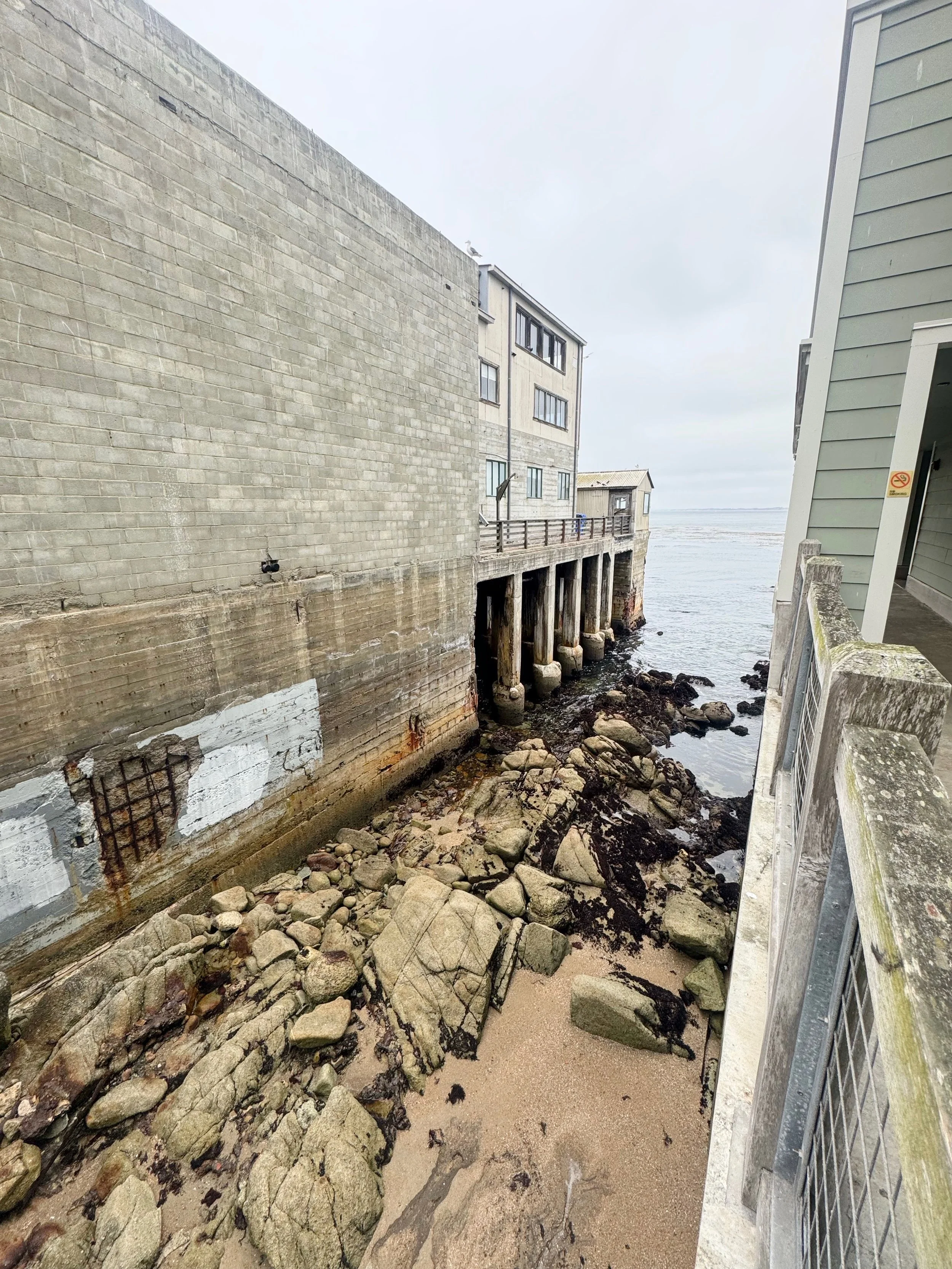
View between buildings in Cannery Row in Monterey
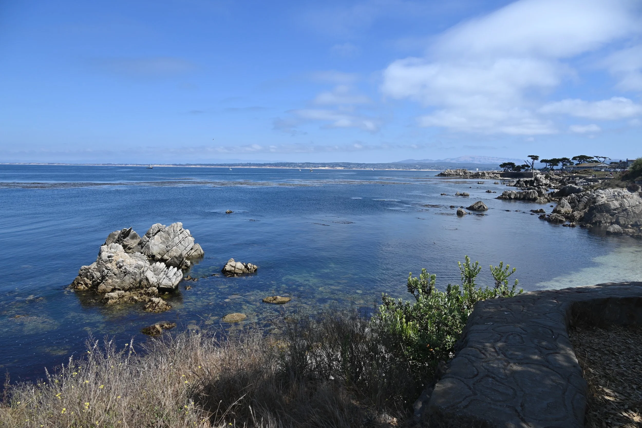
Coastal Walk in Pacific Grove
Carmel-by-the-sea
Carmel is a romantic storybook village, straight from a fairytale. This is an adorable walkable village that transports you into its world. Dining here is more upscale with fine dining restaurants and wine tasting rooms. If you enjoy shopping, being close to the beach, a more romantic feel - Carmel-by-the-Sea is the best option for you. Unfortunately though, the fairytale falls apart a bit when it comes to the traffic and parking situation. It is a very popular location and sidewalks will be crowded. However, if you are staying in the area, you can stop by the village before or after the crowds leave and you won’t have to worry about finding parking if it is provided with your hotel. Accommodations here are the most pricey but for a honeymoon spot or romantic retreat, it would be perfect.
For more affordable options check out: Carmel Mission Inn, Normandy Inn, and Comfort Inn Carmel by the Sea.
If you are looking for more upscale luxury options, look into: Carmel Beach Hotel, La Playa Hotel, and Hotel Carmel.
Pacific Grove
A more residential area, compared to Monterey and Carmel. It has beautiful views and lower crowds. There are less amenities and activities close by, but if you are interested in relaxed cozy Bed & Breakfasts or home stays - Pacific Grove is a great place to look. If you are interested in Pacific Grove, I’d recommend looking into homes to stay in on VRBO:
Itinerary Overview
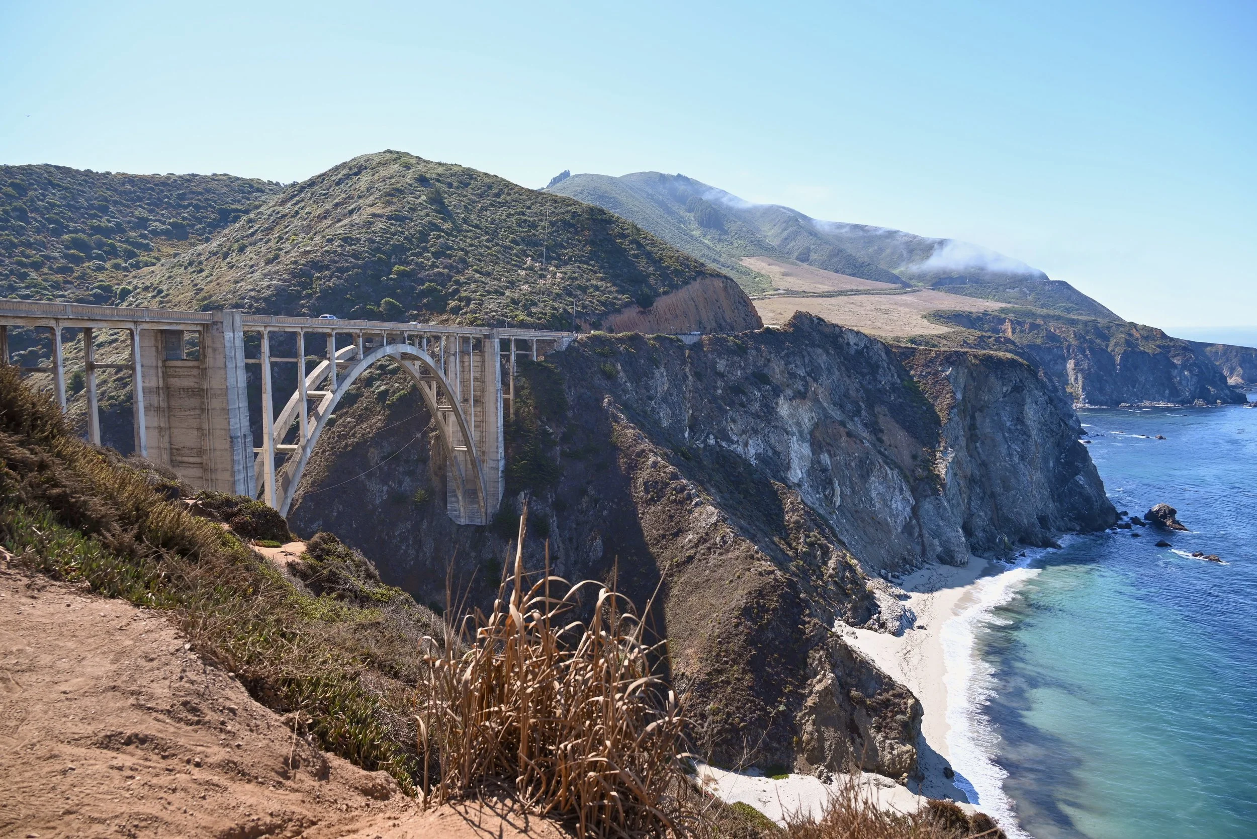
Bixby Bridge in Big Sur
Day 0 - fly into the the Monterey Bay airport MRY
Day 1: Drive down Big Sur
Bixby Creek Bridge
Pfeiffer Beach
Julia Pfeiffer Burns State Park
McWay Waterfall Trail
Henry Miller Memorial Library
Carmel-by-the-sea
Monterey
Day 2:
Point Lobos State Natural Reserve
17 mile drive
Pacific Grove
Elkhorn Slough
Old Fisherman’s Wharf
Fly home
Day 1
After flying in the night before and getting to sleep early, we started this first day early to beat the crowds. Unfortunately, not quite early enough to fit in Point Lobos State Natural Reserve before visiting Big Sur. The nature reserve opens at 8:00am and on summer weekends, the parking lots fill up shortly after opening. We drove past 45 minutes after opening and people were already parking outside of the park with a parking lot full sign at the entrance. When we checked again after leaving the Big Sur area, the parking situation was worse in the early afternoon. This is a very popular park – and for good reason – so we knew our best bet for an stress-free experience was to arrive right before opening or in the evening. We planned to see it the following morning.
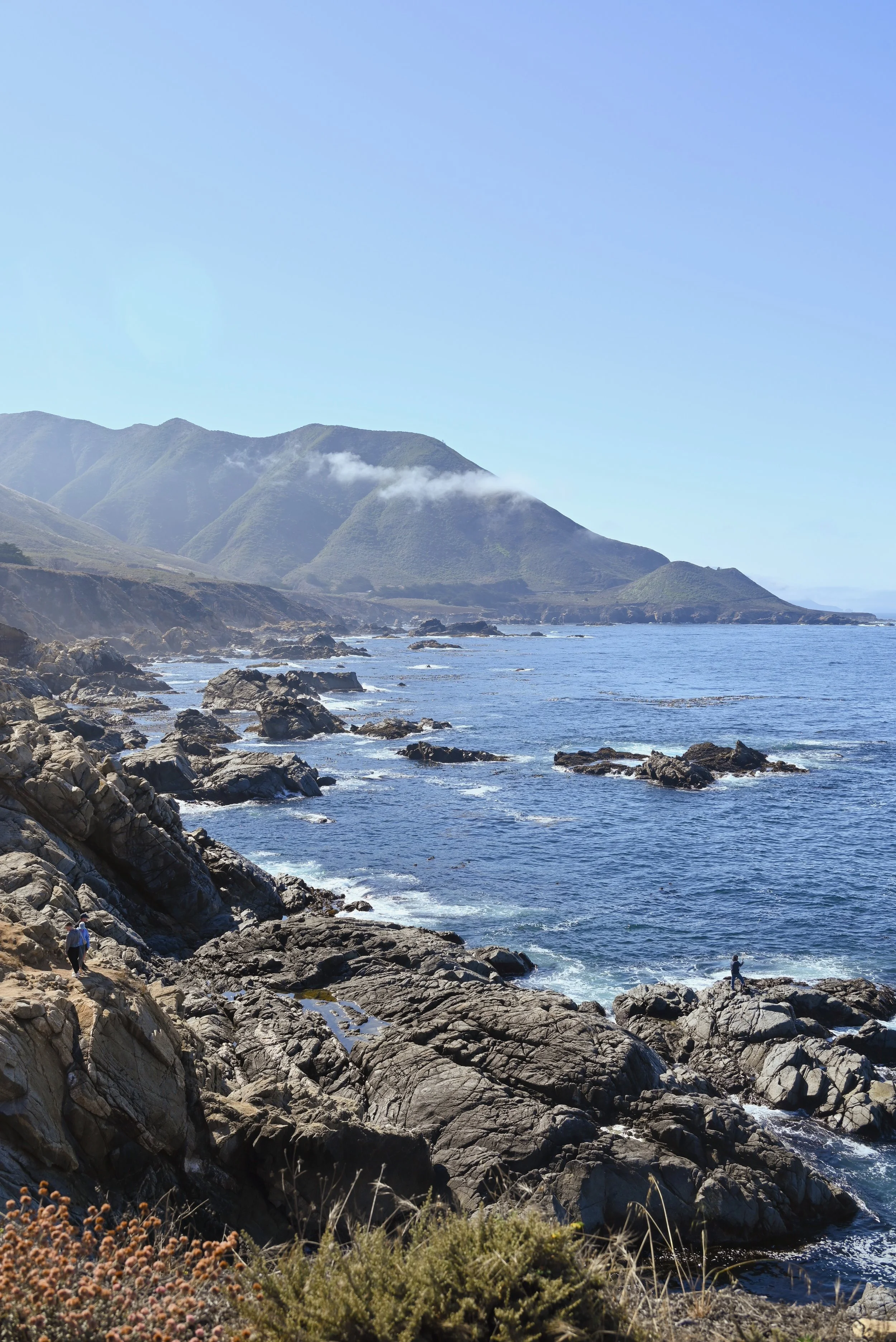
Garrapata State Park
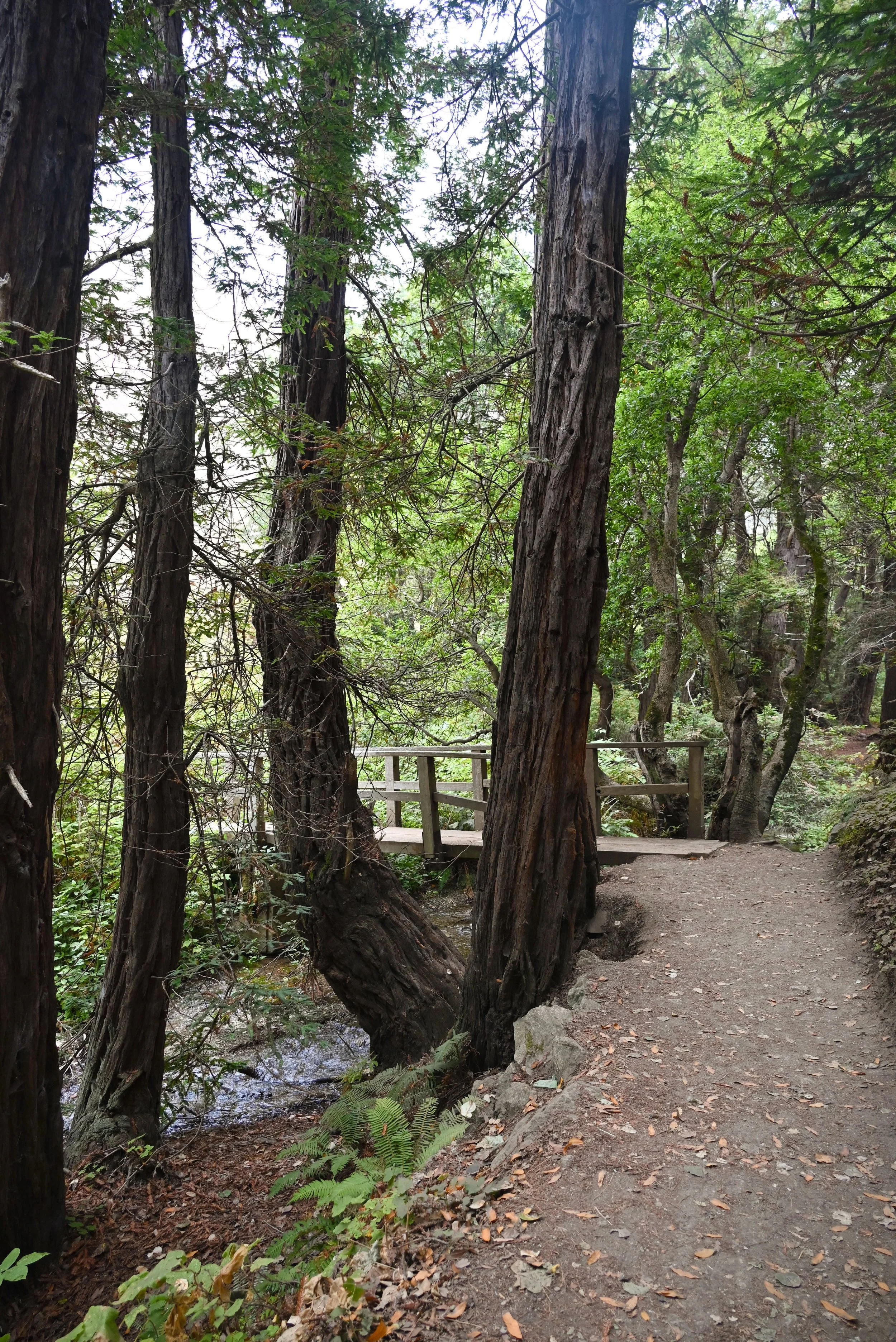
Partington Cove Trail in Julia Pfeiffer Burns State Park
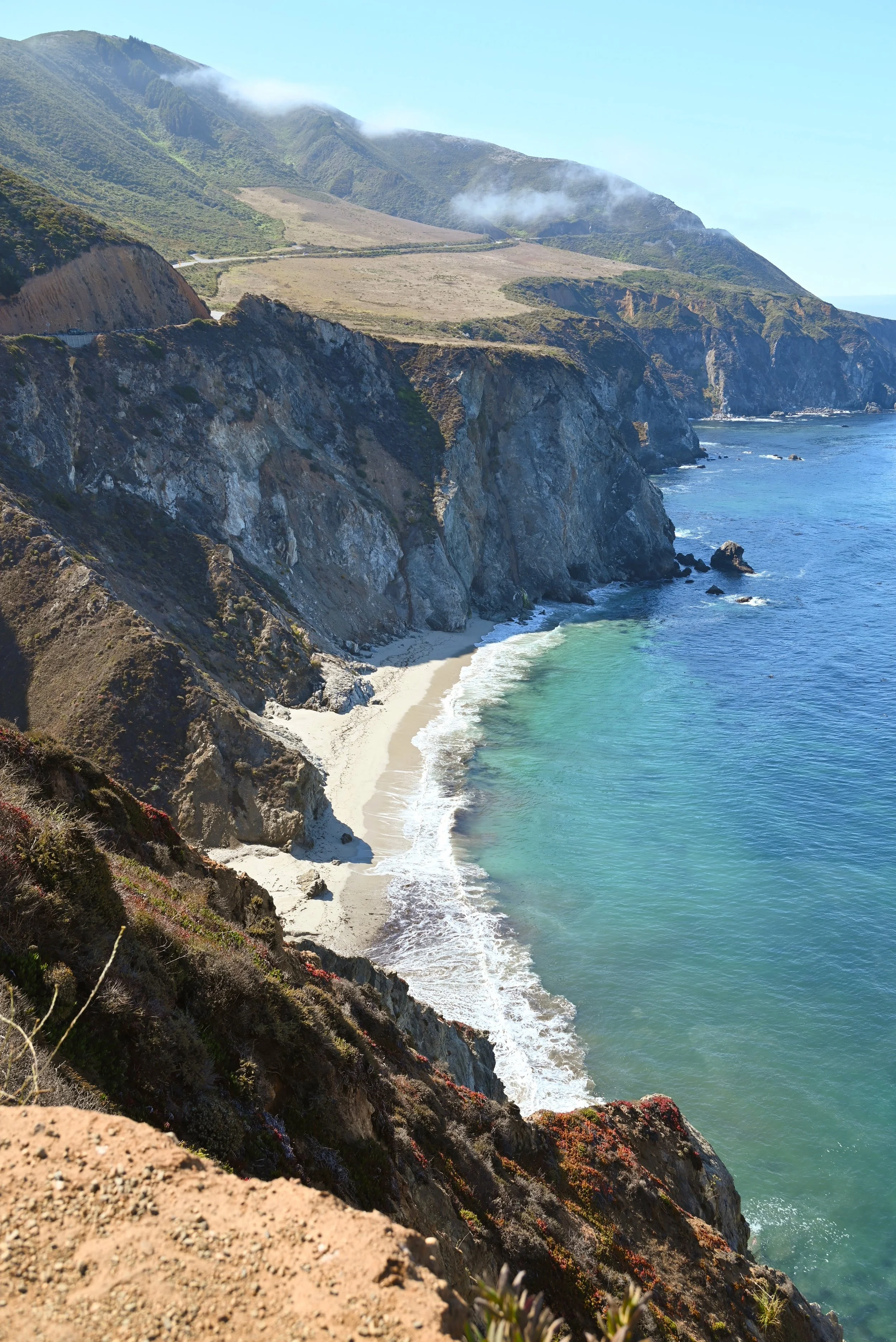
View near Bixby Bridge in Big Sur
What is big Sur?
The morning of Day 1 was instead spent driving down Big Sur. What is Big Sur? Big Sur is the name for this stretch of coastline. It is not the name of a park or a town, it is just the 90-mile region that starts at Carmel and ends at San Simeon. Big Sur is known for its gorgeous seaside cliffs, misty coastline, winding turns, unique bridges, redwood forests, hikes and more. When we visited last summer, highway 1 was closed halfway down and so we had to miss out on a few stops. As of February 2026, all of highway 1 in this area is open. It would take you about 3 hours to do the whole route one way. The drive back you could do on the quicker 101 in 2.5 hours, or you can make your way back on highway 1 but have to endure all of the twists and turns with a bit of a worse view than you had when you were traveling south. Exploring the entirety of Big Sur would take your entire day. You could also just visit the northern half of the route, which has the highest density of sights. If you don’t mind actively driving for 6 hours and are willing to devote a whole day to it - do the whole route. If you want a more relaxed trip but still be able to see the highlights of Big Sur - just do the northern half to McWay falls before turning around back to the Carmel/Monterey area.
This itinerary will just focus on the northern half of the Big Sur coastline, but the sights you would miss will be covered later in this article in “More Places to Visit”.
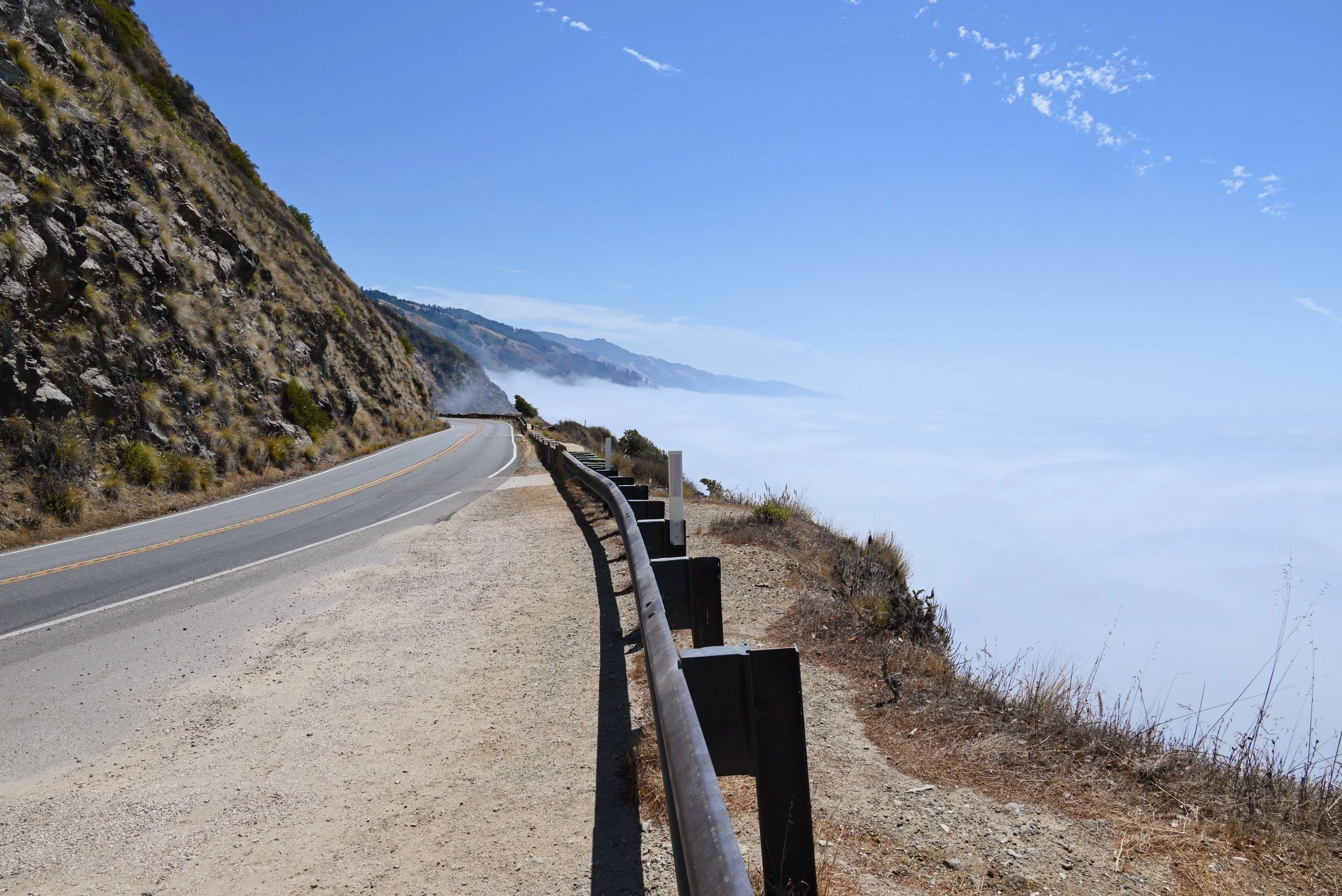
Highway 1 in Big Sur with fog cover below the road
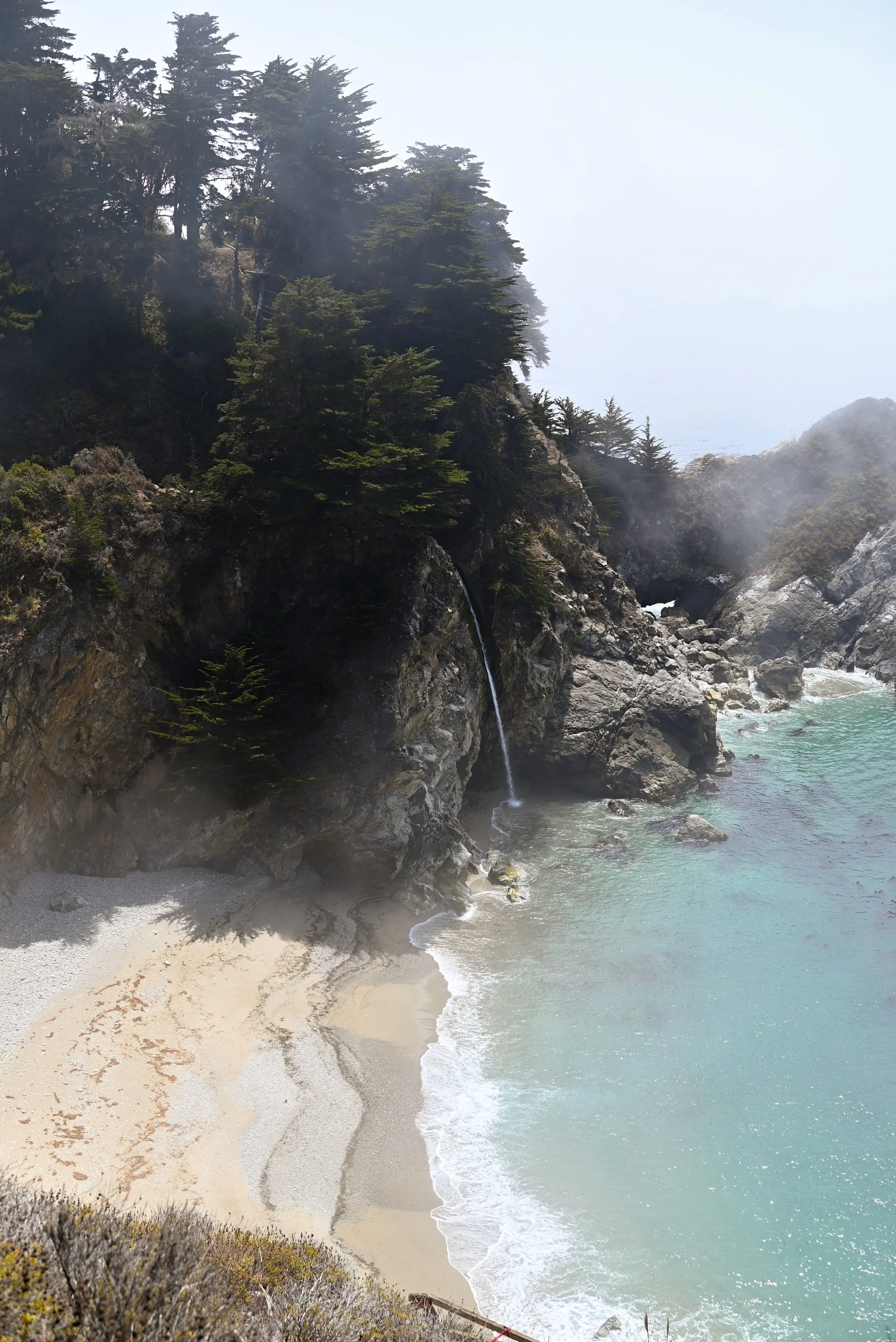
McWay Waterfall in Julia Pfeiffer Burns State Park
Garrapata State Park
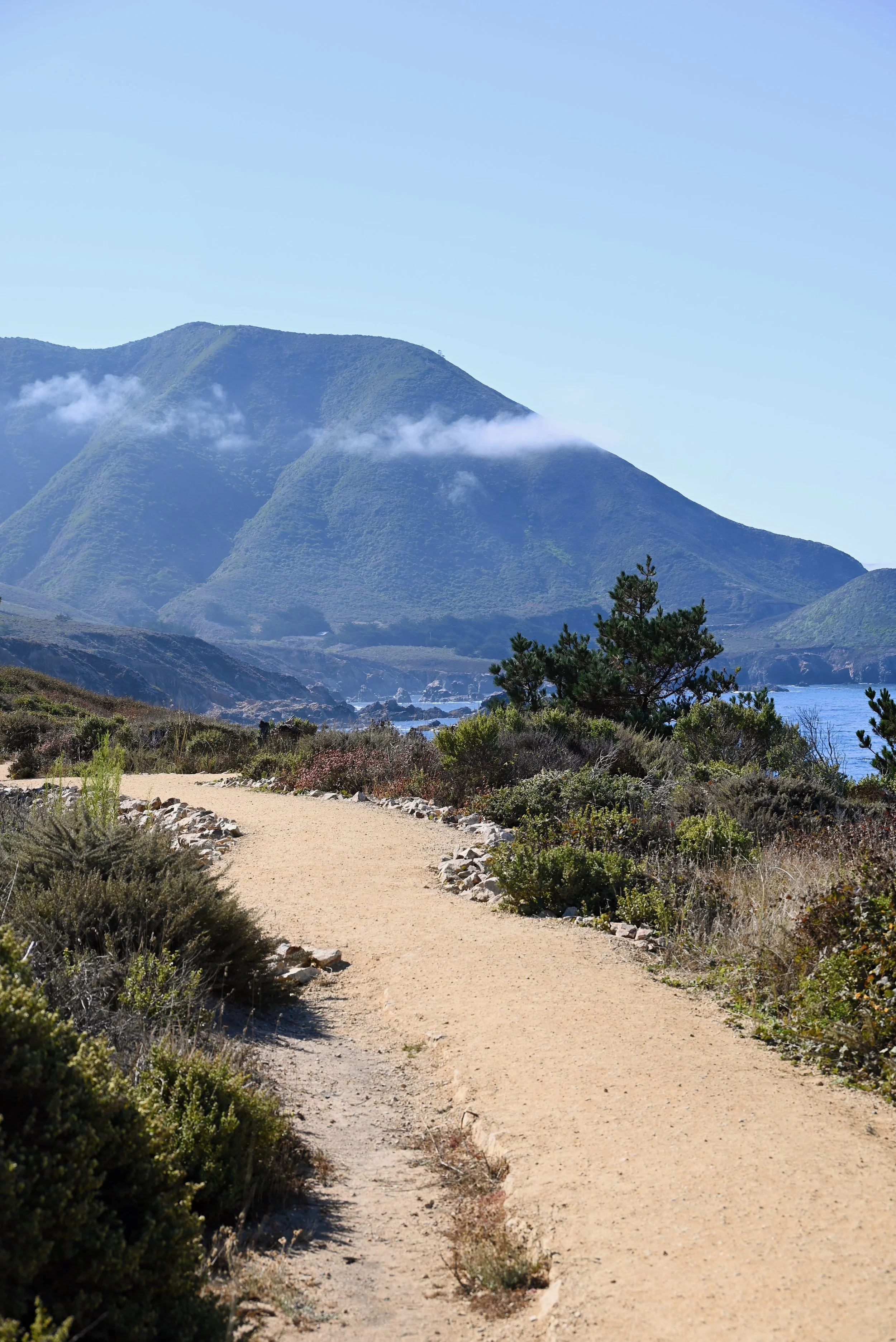
This small coastline state park is great for a short visit or a longer hike. Parking is right along highway 1, on both sides of the road. The park hosts jagged shoreline with sea stacks out in the water, colorful scrub vegetation along the bluffs. In the inland section of the park, east of highway 1, you can walk through redwood forest and along creeks. Along with the natural beauty of this park, this is a great spot to watch wildlife. Just offshore, you might see otters, pelicans, whales or dolphins. The woodland section has dozens of species of birds, chipmunks, and more. Currently the only hiking trail that is open is the Soberanes Point Trail, which includes sections on both sides of highway 1. You can do the whole 3 mile trail or just sections of it.
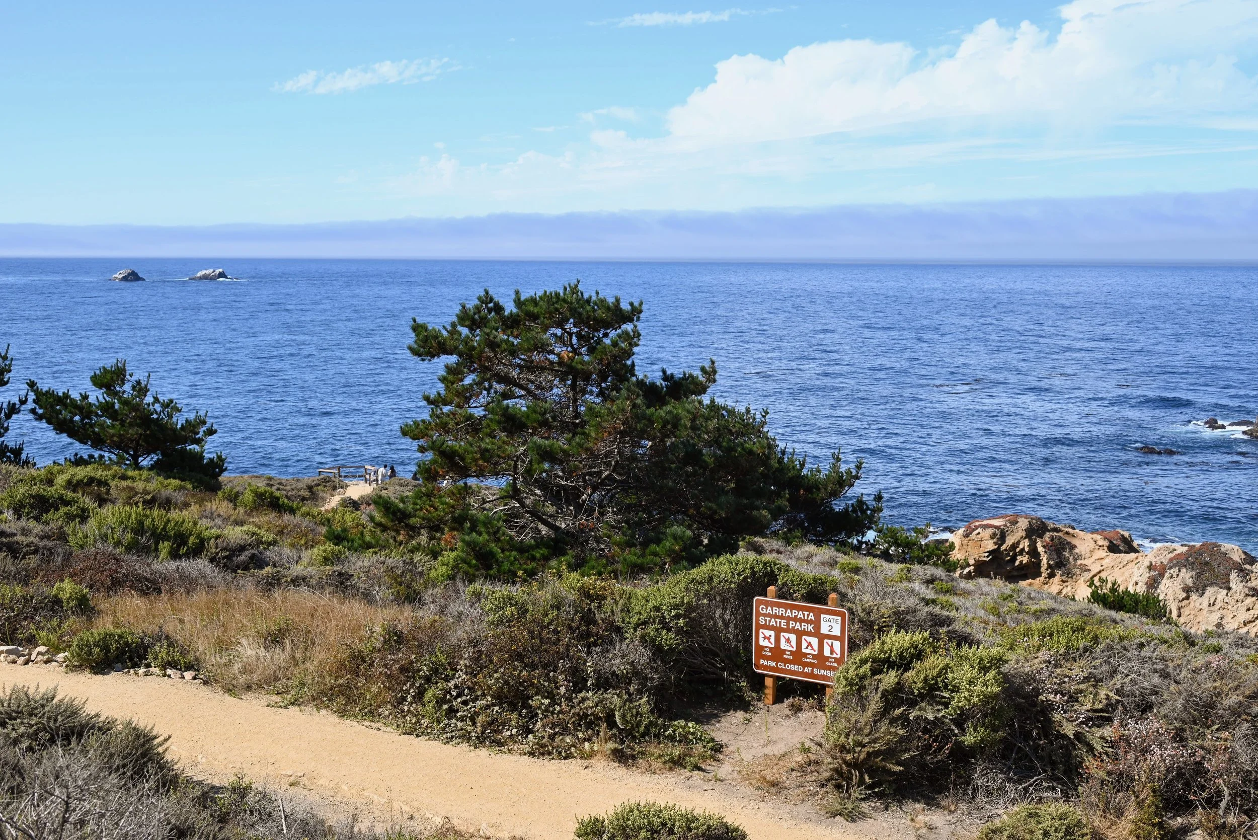
Garrapata State Park
Garrapata State Park
We just spent 20 minutes walking along the coastline section of the park enjoying the views of the ocean and wildflowers. We attempted to spot otters, but were unsuccessful. There are several signs warning of poison oak along the trails so be sure to look up how to identify it and other Californian poisonous plants if you are not familiar. Also consider to wear long pants if you are planning to do the entire trail. Two other things to note: it was very windy and parking can be a challenge. Since parking is right off the highway, pulling into and out of spots needs to be done with care. Cars can come out from behind the curve speeding by.
Bixby Bridge
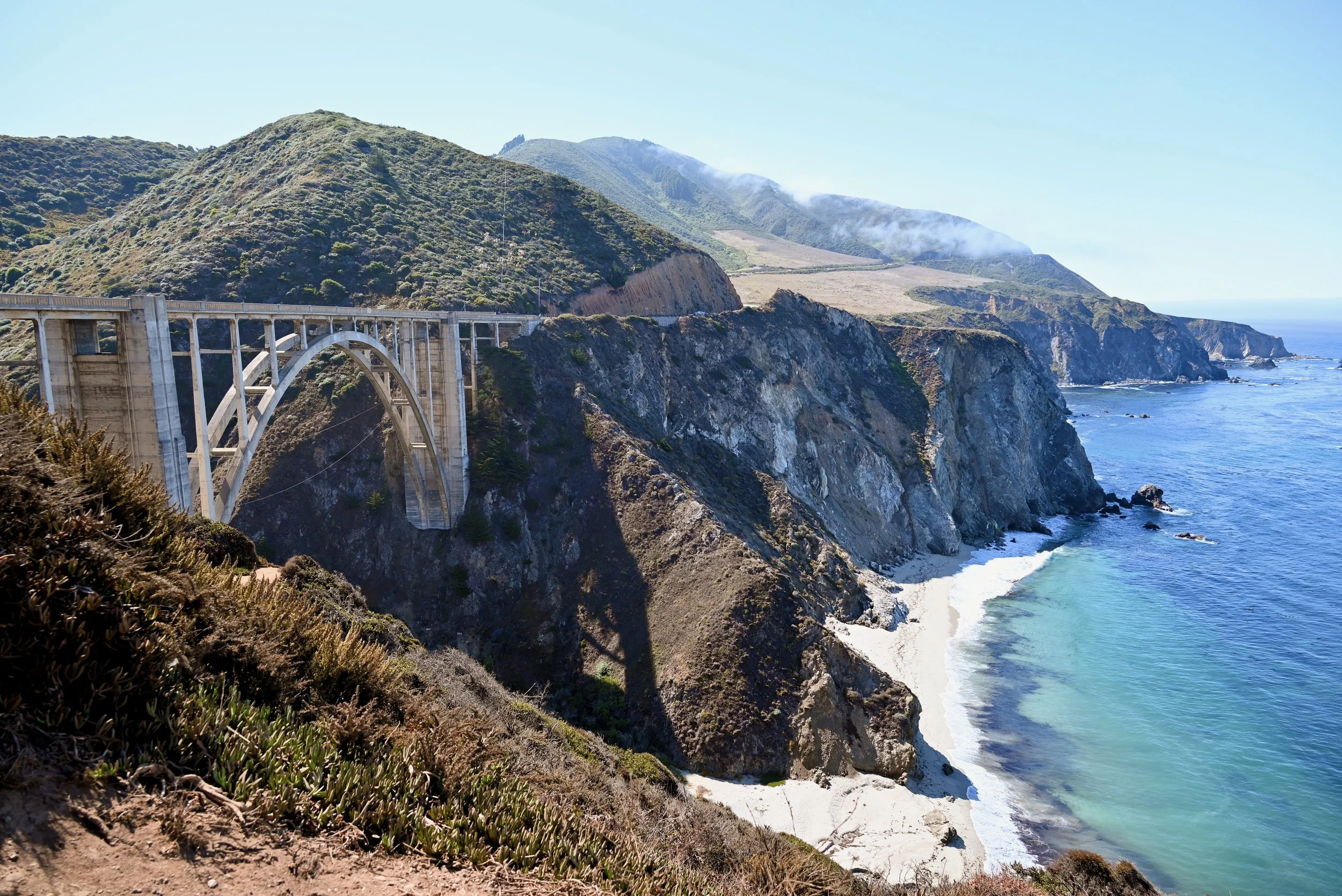
One of the most famous stops along Big Sur and it is right on Highway 1. This concrete arch bridge was built in 1932 and is famous for being one of the tallest single-span concrete arch bridges and its gorgeous location. You will know you are close when you start to see cars parked along the road beforehand. Parking near the bridge can be overwhelming during summer months as there is no dedicated parking. You will need to try to get a spot along the side of the road if you wanted to stop and get a photo or a closer look. As soon as you find a spot, take it as it gets far trickier the closer you get to the bridge and it is a pain to turn around to try again. Is it a must stop, probably not – so if it is not something that appeals to you - just keep driving on and enjoy the views as you go past. Just make sure to drive slowly and watch out for cars going into and out of spots and pedestrians running across the road.
Bixby Bridge in Big Sur
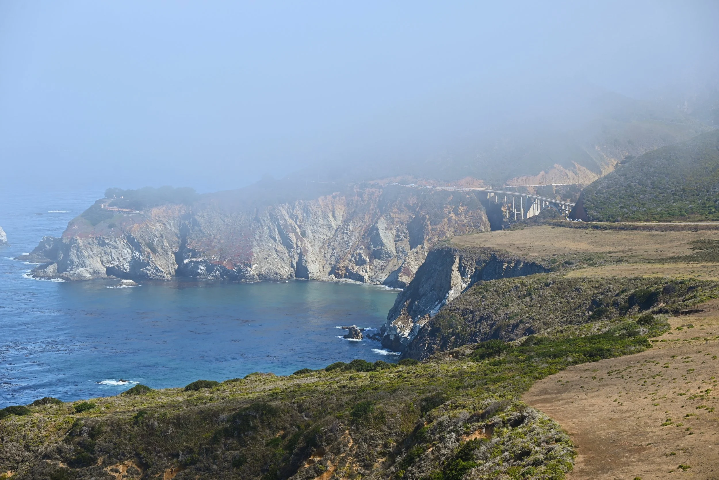
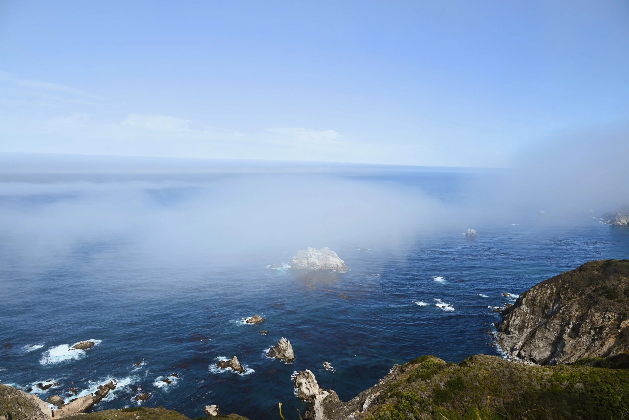
For a great view of the bridge and an easier parking situation, drive south a bit further to Hurricane Point Vista Point. This is a beautiful overlook that along with the view of Bixby bridge, you also get great views of the Pacific Ocean and coast. Fog rolled in and out when were up at this viewpoint and it was stunning. The wind was definitely blowing and parking can still be a challenge but people are frequently leaving. Worth it for the quick stop!
View of Bixby Bridge from Hurricane Point Vista Point in the Fog
Hurricane Point Vista Point in the Fog
Pfeiffer Beach
This gorgeous and unique beach was one of our favorites and most relaxing stops along our drive. This beach is known for its purple sand and key hole rock. It is a bit of a tricky place to visit as the signs to get here are minimal to non-existent and the road is quite narrow and bumpy. After you turn off highway 1 onto Sycamore Canyon Road – which can be tricky to spot, you will see the sign for Pfeiffer beach where you will turn left to go down the 2-mile 1-lane bumpy road to the beach. At the end of the road, you will need to pay a $15 entrance fee to park. The beach is managed by a separate company for the Los Padres National Forest, meaning California State Parks Passes are not valid. Cell Service is very spotty down here so credit cards are not always able to be accepted. When we went, they were only accepting cash so be prepared.
The parking lot is also relatively small and can fill up. While we were in line to pay for parking, cars starting 2 behind us were told to turn around because the parking lot had filled up. They typically have a sign near highway 1 stating with the parking lot is full or not (and update it throughout the day as spots empty) so you don’t have to make the drive down to the beach. When we were done at the beach, we saw someone changing the sign back to allowing cars to go down. We also saw some people parking near highway 1 and walking down to the beach. I would suggest that if the lot is full when you go, to try again in the afternoon on your way back to Monterey.
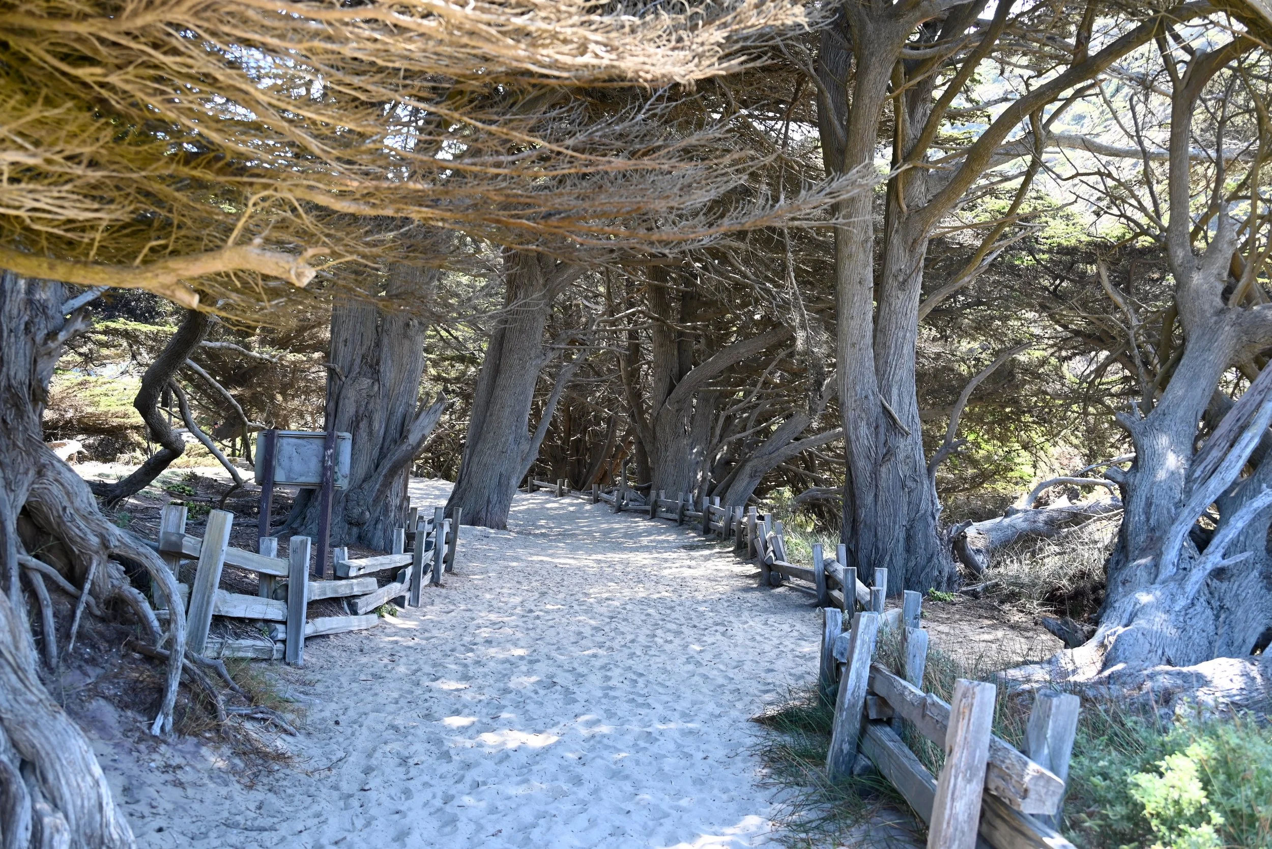
Pfeiffer Beach in Big Sur
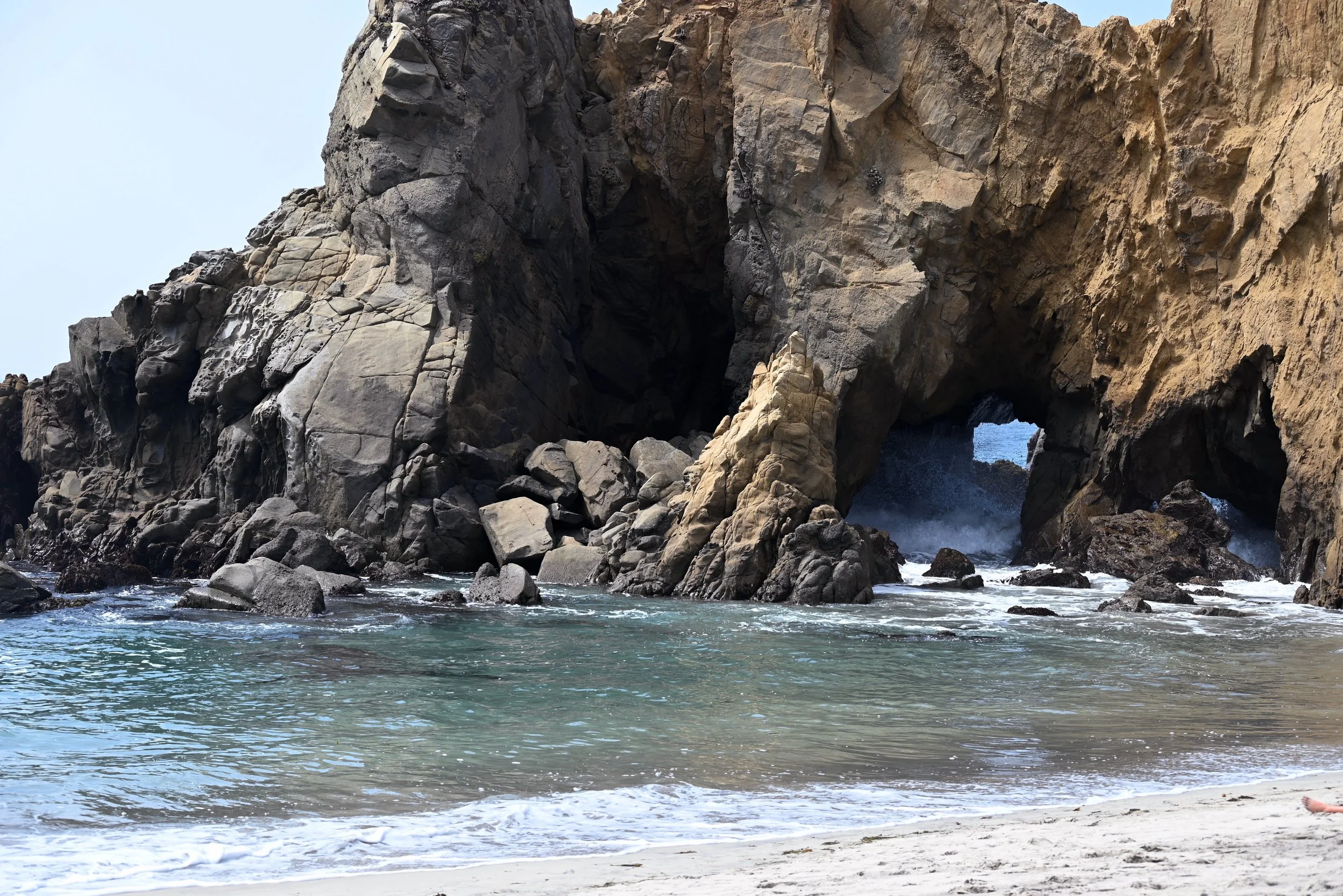
Pfeiffer Beach in Big Sur
Once you’ve made it to the beach, feel free to walk the whole length of it, about a mile, or just sit down and relax. The keyhole rock is mesmerizing to watch the waves crash into and around. This is an extremely popular spot during sunset, as you might see gorgeous photos of this spot with the sunset in the keyhole. Due to the parking situation though, this beach is never too crowded. The other unique feature of this beach is the purple sand that can be found in parts due to the manganese garnet from the cliffs. The color is not a true vivid purple but definitely has a purple tint to it and appears as beautiful swirls and streaks.
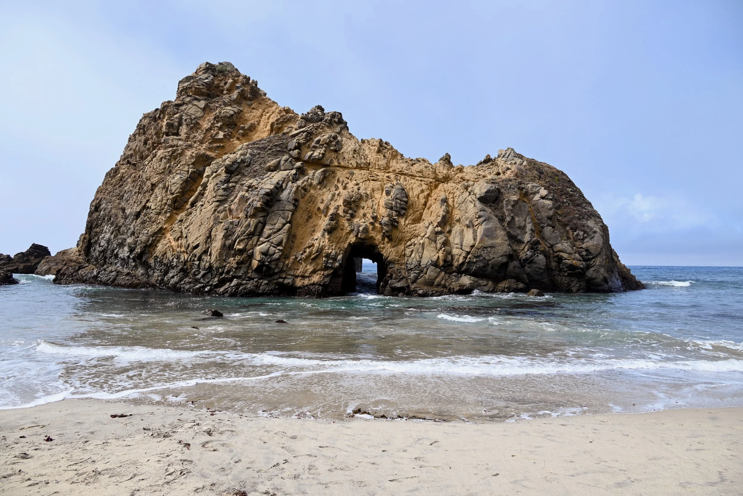
Keyhole Arch - Pfeiffer Beach in Big Sur
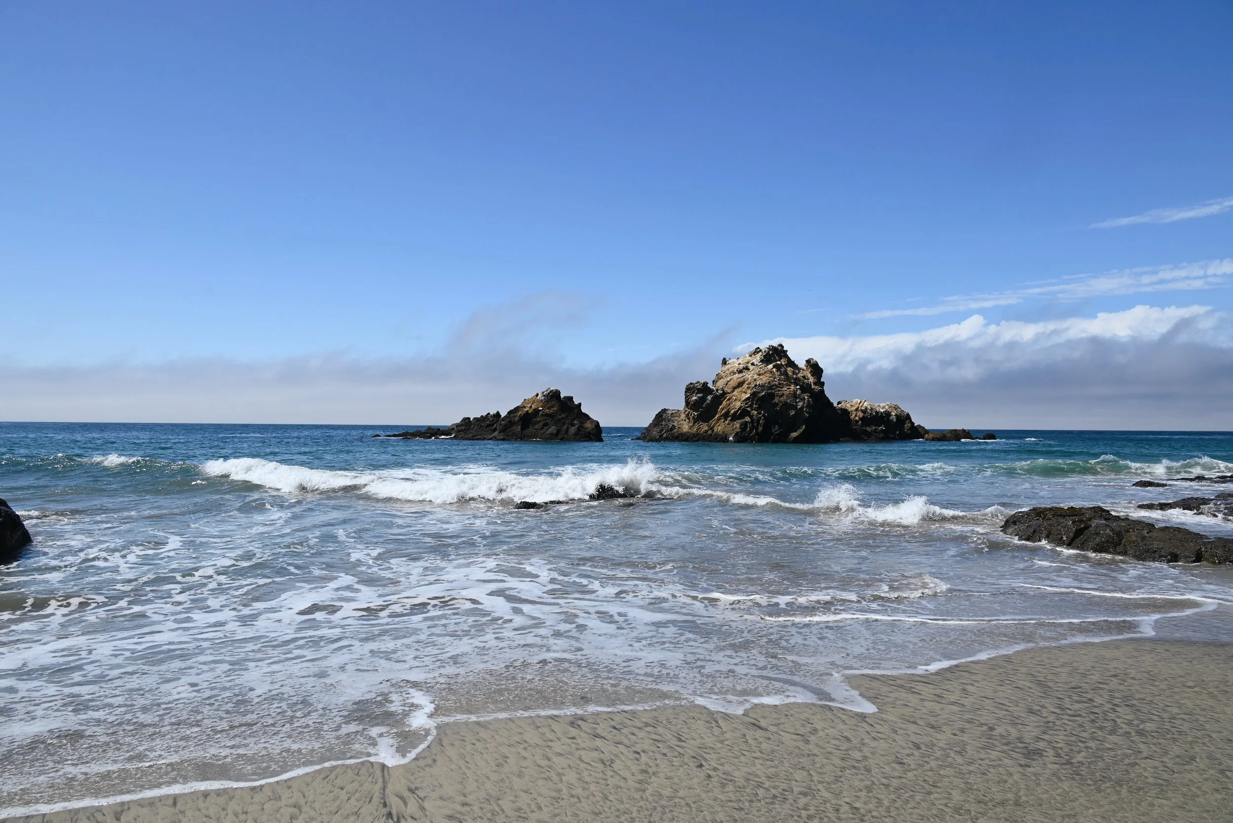
Pfeiffer Beach in Big Sur
It can be windy, so grab your jacket or an extra layer before leaving your car. This beach, along with nearly all in this region, is not for swimming due to the strong currents. This is where we ate our lunch that we picked up earlier in the day from a grocery store near Monterey.
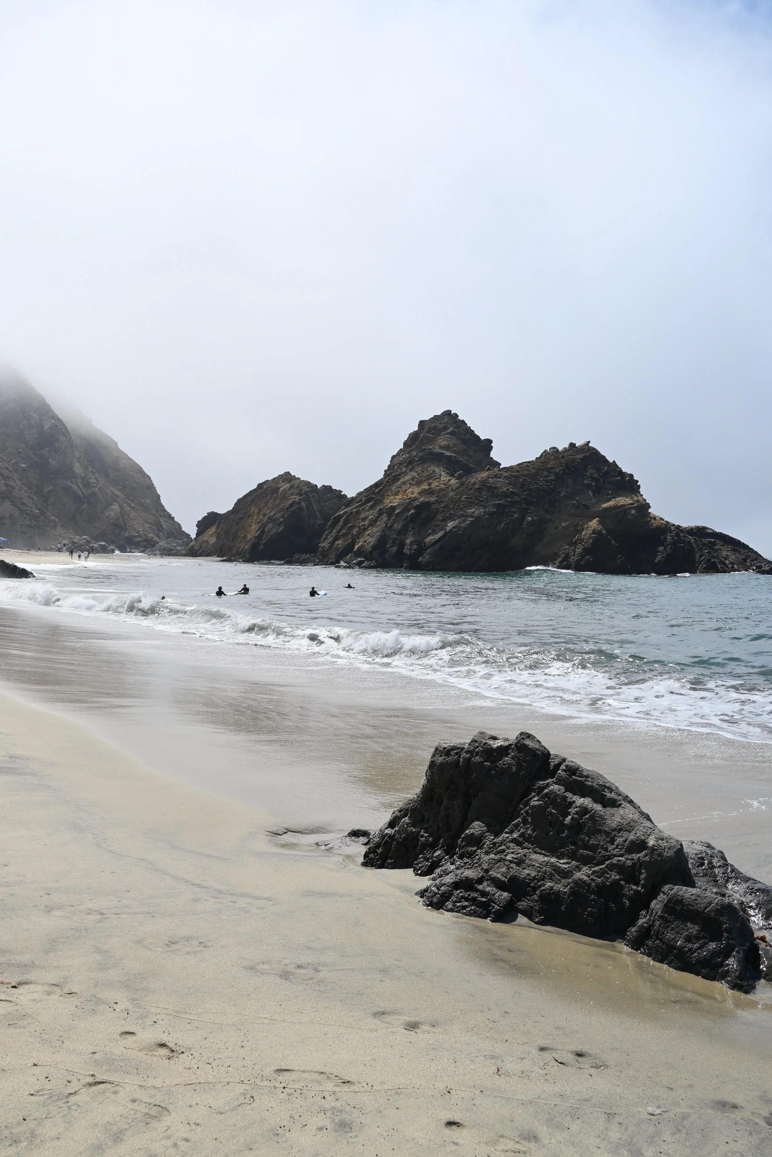
Pfeiffer Beach in Big Sur
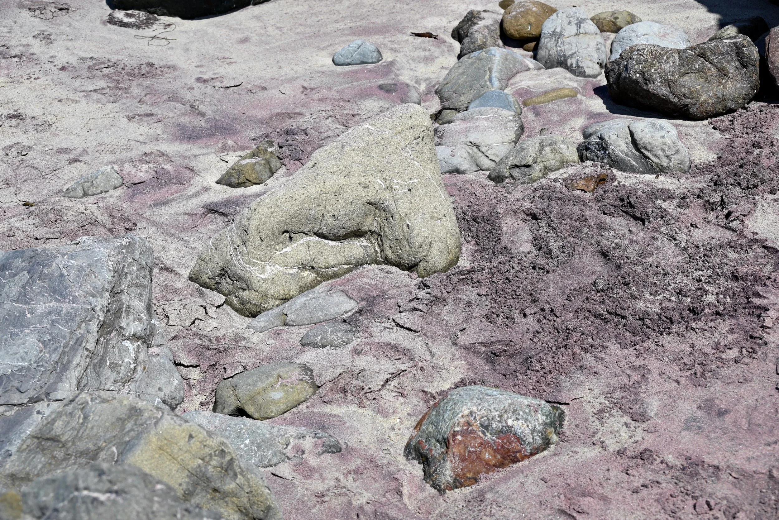
Purple sand at Pfeiffer Beach in Big Sur
Julia Pfeiffer Burns State Park
This state park is known best for its picturesque waterfall that drops from the cliffs into the ocean, but there is a lot more to it. This was the farthest point we went on our half day journey down Big Sur and it was a very worthwhile stop. Not only does the park have beautiful coastline, it also has wonderful trails through 2,500 year old redwood forests. The first place we stopped in the state park was at the Partington Cove Trail. The parking for this trail is right off the side of the highway, but there is no designated spots. We were able to snag a spot fairly close to the trailhead but we did see some people having to turn around to get a spot on the other side of the road.
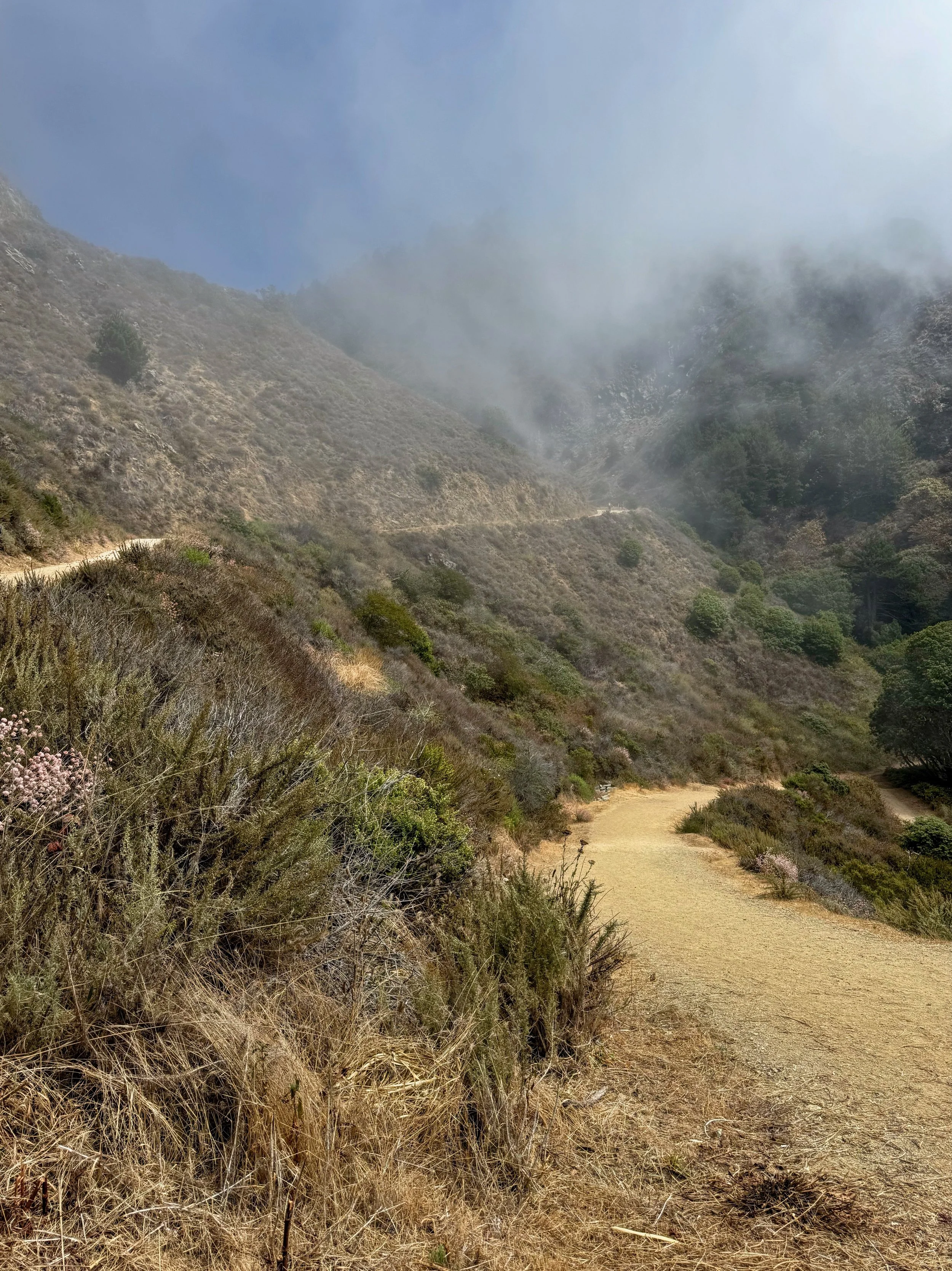
Steep hill on the Partington Cove Trail
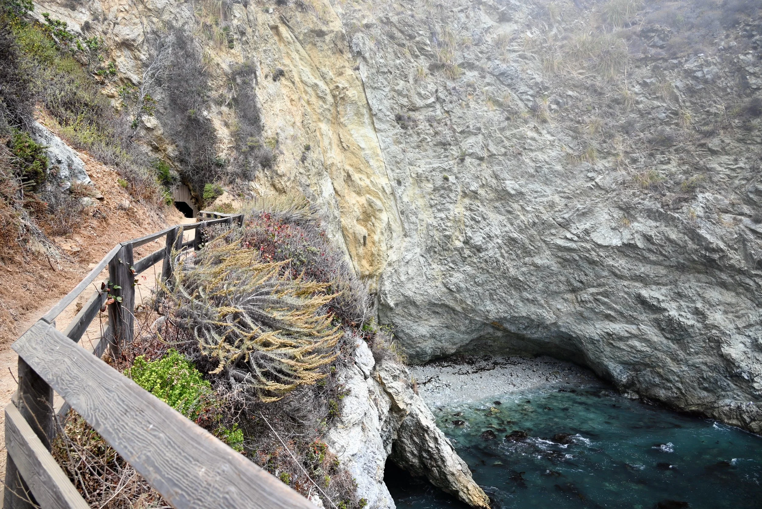
Partington Cove Trail in Julia Pfeiffer Burns State Park
The trail is about 1 mile, depending on if you go down all of the off shoots of the trail. The trail starts as a fairly steep walk down to water level. The entire walk down, all we were focused on was watching all of the people huffing and puffing their way up the steep walk. I would still consider this an easy trail, but it may take some time for some people on their walk back up. Clouds were going in and out as walked, but otherwise the steep part of the trail is fully exposed to the sun. So bring some water and decent shoes. Once you get down the hill, there are several ways to go. I would recommend checking them all out, but the best path in our opinion was the one with the historic tunnel that leads to a beautiful cove. This stone tunnel was once used to transport lumber from Big Sur to the ships waiting in the cove.
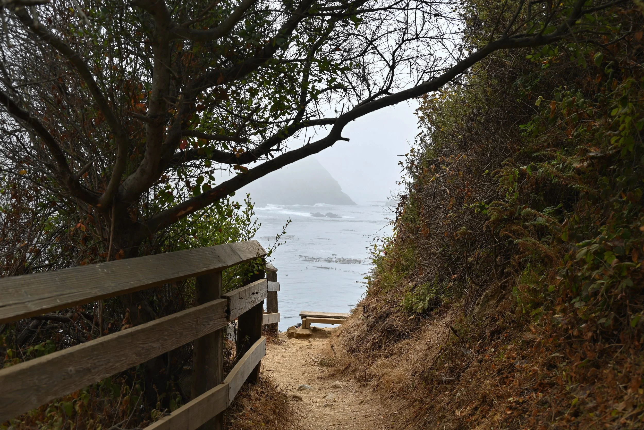
Partington Cove Trail in Julia Pfeiffer Burns State Park
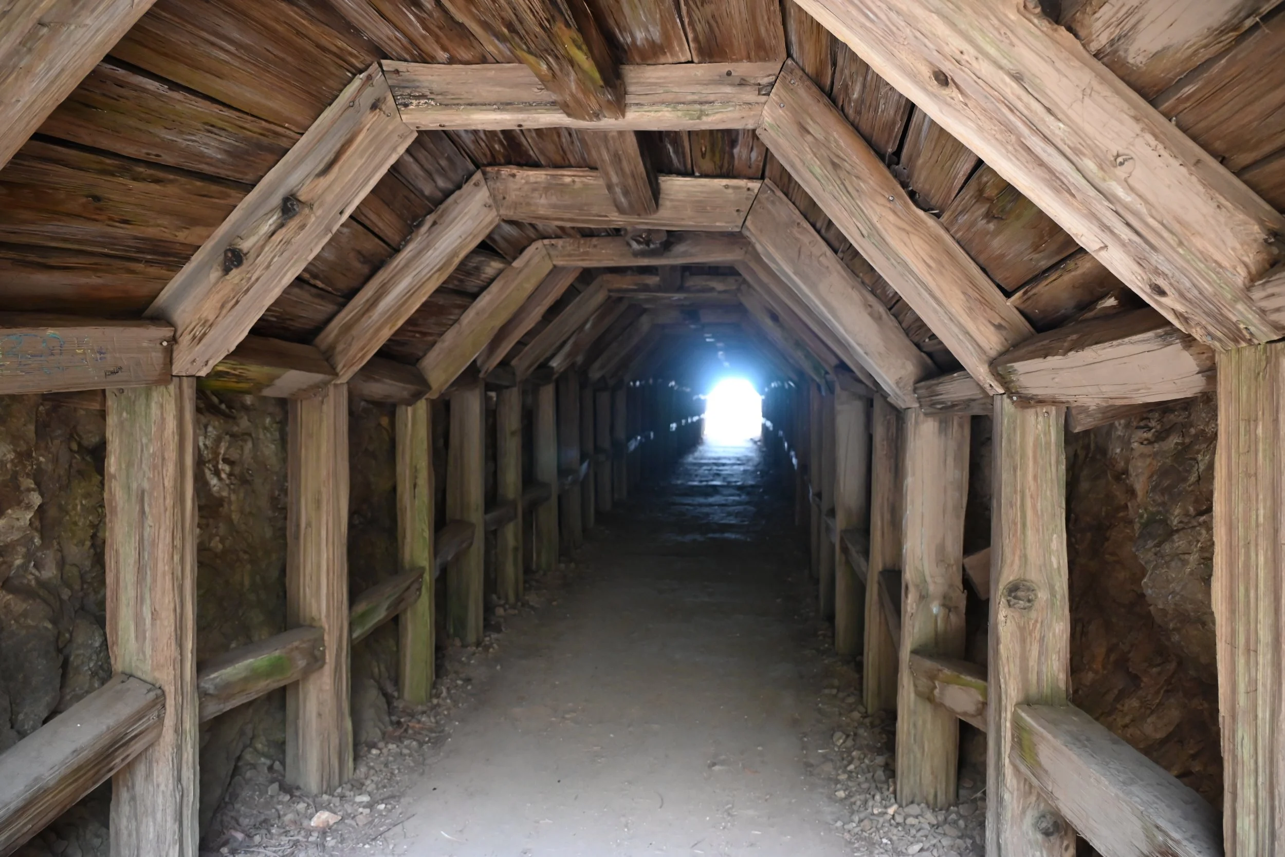
Historic Tunnel in Partington Cove Trail in Julia Pfeiffer Burns State Park
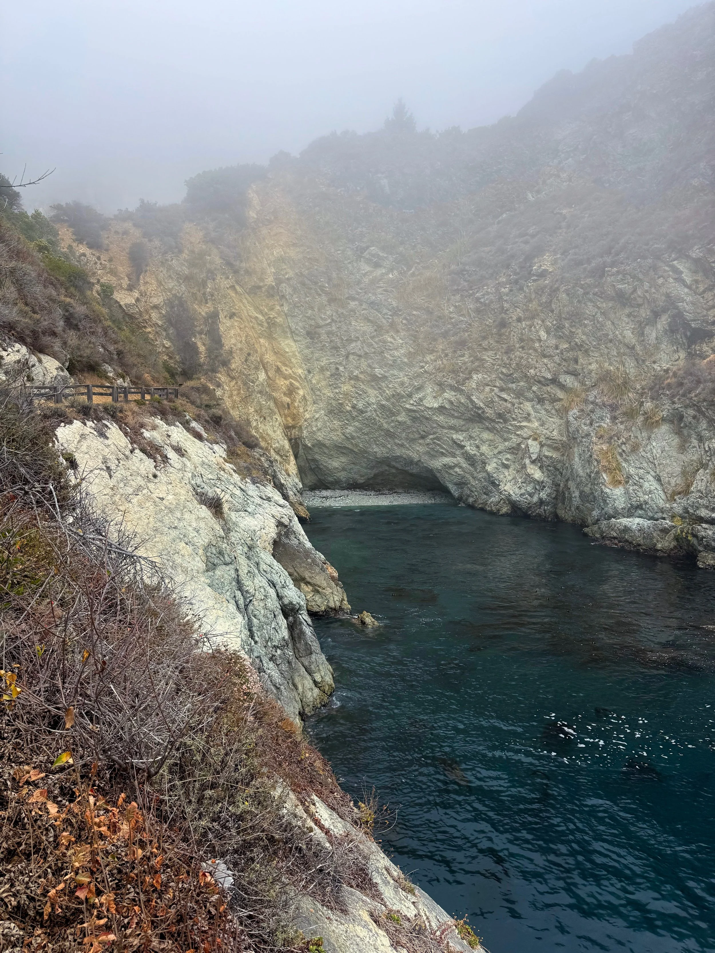
Partington Cove Trail in Julia Pfeiffer Burns State Park
A bit further down highway 1, is McWay Waterfall. There is currently just a small viewing area off of highway 1 to view the waterfall. There was a Waterfall Overlook trail that is currently closed to work on building a retaining wall. If it matters to you and your photographs, where the waterfall lands changes depending on the tide. During high tide the waterfall falls right into the ocean and during low tide it falls onto the exposed sand.
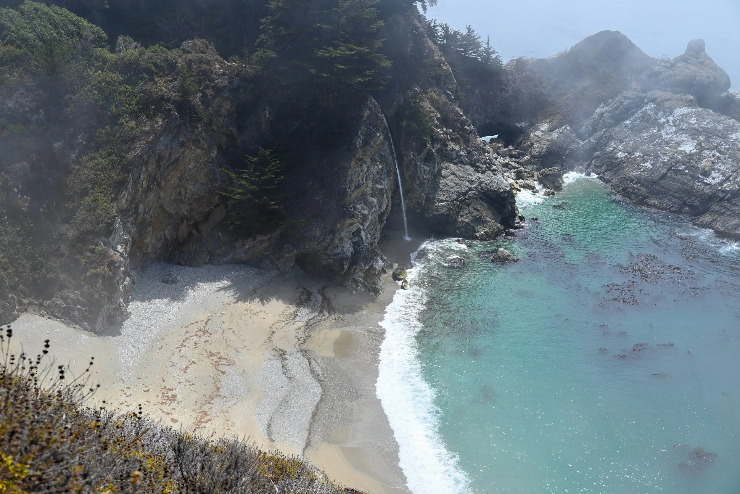
McWay Waterfall in Julia Pfeiffer Burns State Park
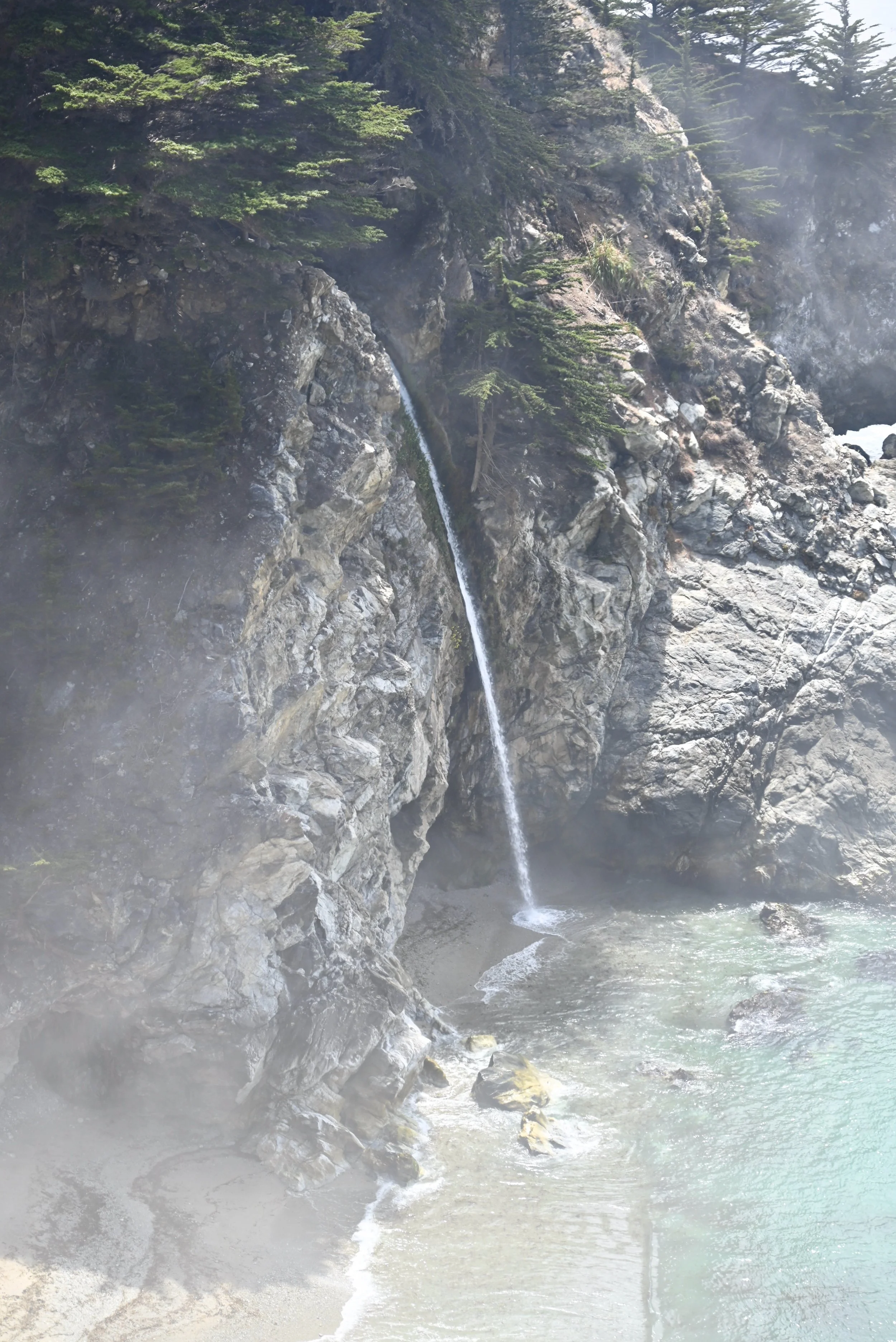
McWay Waterfall in Julia Pfeiffer Burns State Park
Another great, but time consuming and strenuous hike, to do in the State park is the Ewoldsen trail. Most of the trail goes through the redwood forests but you can get several views out onto the Pacific Ocean. It is 5 miles roundtrip but gains substantial elevation. It is a gorgeous and immersive hike if you have the time and energy.
After the McWay Waterfall, we turned around and started heading back towards Carmel and Monterey. The next stop is also along highway 1 in Big Sur, but a lot easier to access driving back.
Henry Miller Memorial Library
Right off highway 1, this cool bookstore is part bookstore and part art gallery. Getting to the actual store, you walk through a serene forested front garden full of fun sculptures and poetry hanging from the trees. The bookstore itself is in a vintage cabin and has lots of classics and some great books for the location it is in. They have events here including open mics and local musical artists. The library was named for Henry Miller, a famous American writer who lived in Big Sur between 1944 and 1962 and wrote about his time there.
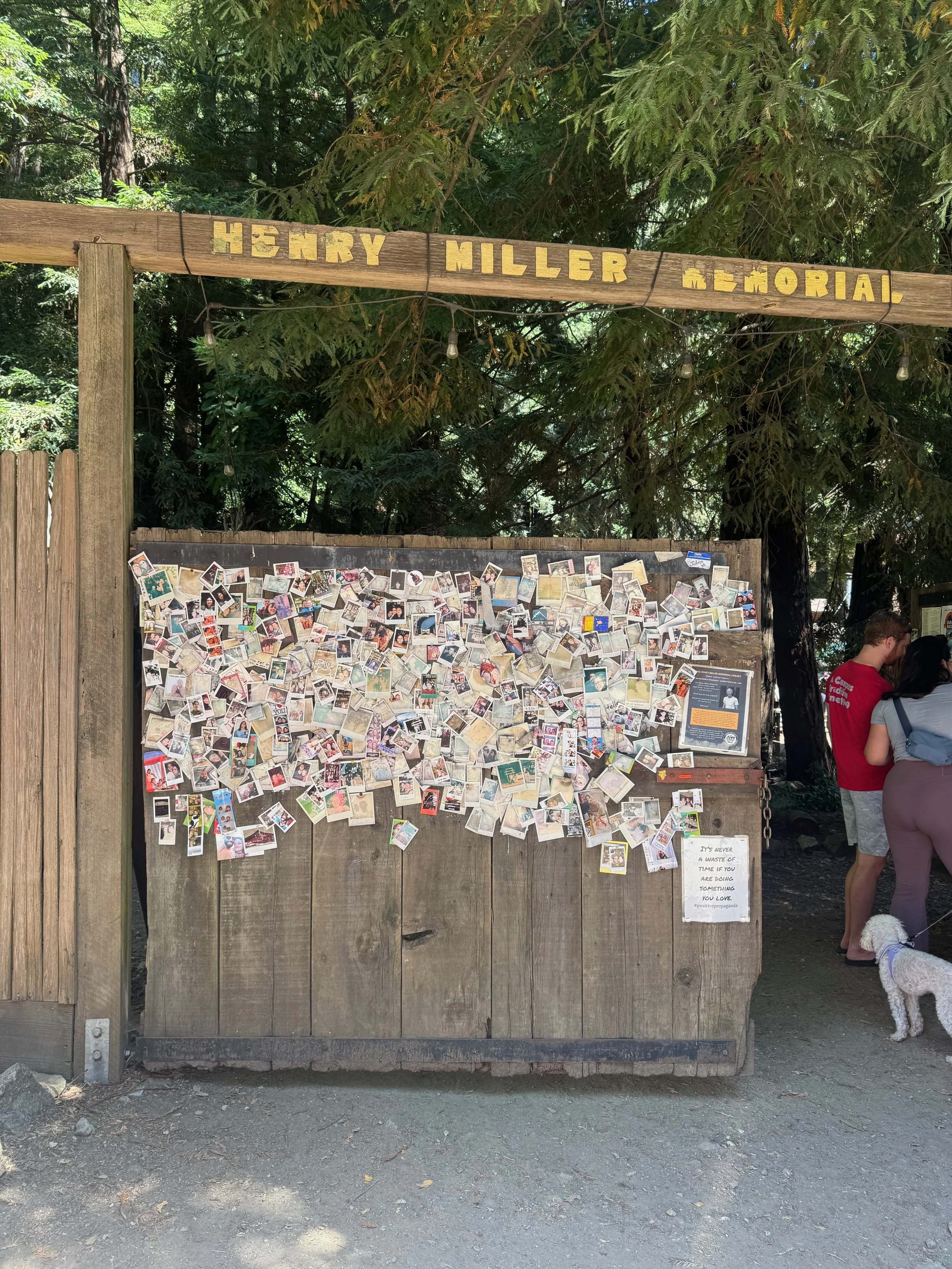
Henry Miller Memorial Library entrance
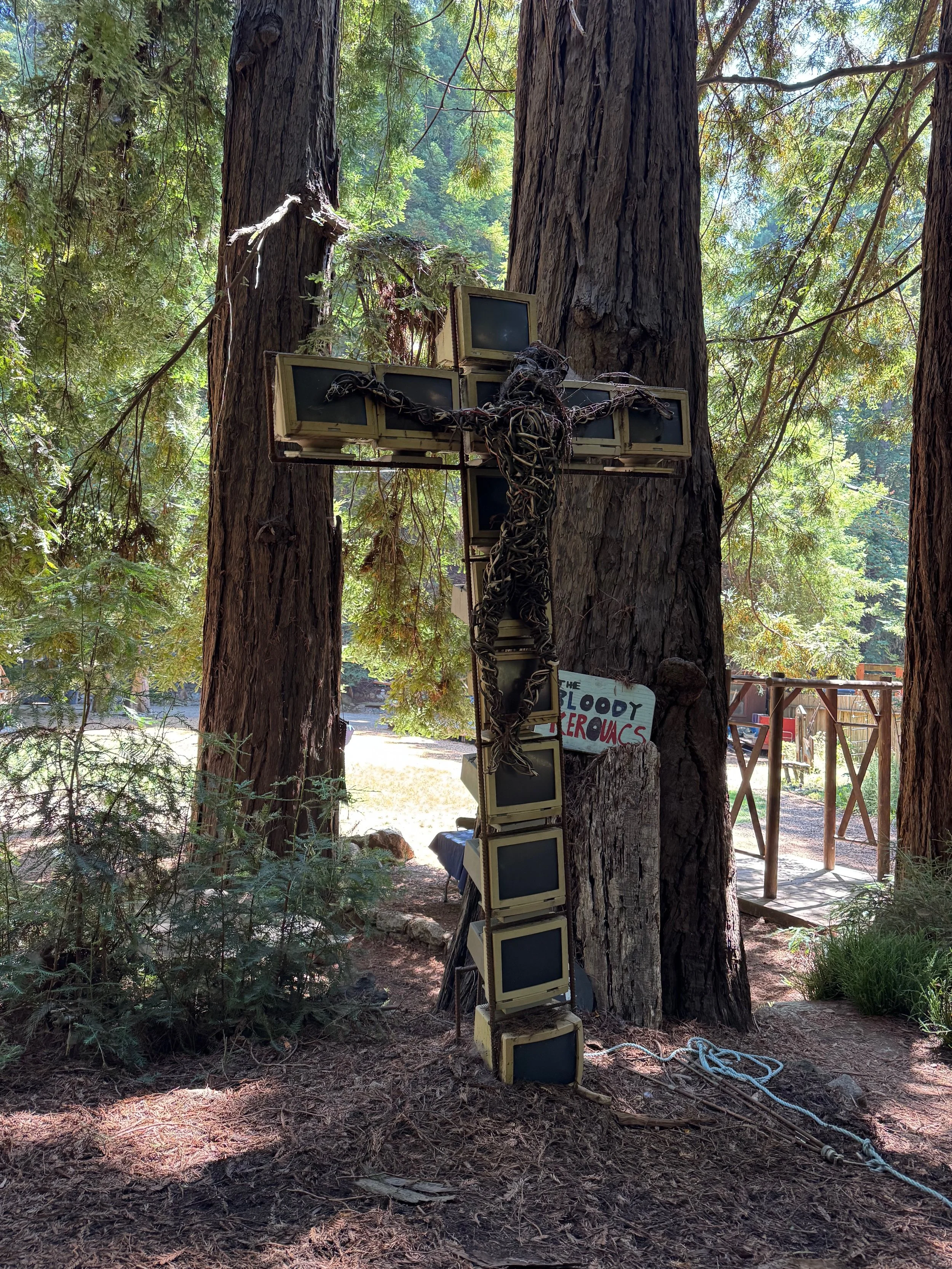
Art at Henry Miller Memorial Library
Carmel-By-the-Sea
Walking around Carmel-by-the-sea feels like you have been plopped into a romantic comedy with its fairytale cottages, art galleries and stunning scenery surrounding it. Unfortunately like a lot of popular spots, parking can be challenging. We were able to find street parking fairly quickly but did see people circling looking for a spot. Pay attention to the signs along the street as some curbside spots have a 2-hr limit and some have just a 30-minute limit. For parking spots without a time limit, check out the lots which are just a short walk to the town’s central business district – Vista Lobos parking lot, Sunset Center north parking lot or any of the residential streets outside of the CBD.
One of the best ways to explore Carmel-By-The-Sea is just to walk down the streets and stop into any place that peaks your interest. Look down the passageways between the buildings as many have secret courtyards with more shops inside. Some of the shops that might be worth making sure you visit are The Cheese Shop, Olivier for olive oil, Pilgrims Way Community Bookstore and Secret Garden, Dutch Door Donuts, Planted, The Nut Hut, Cottage Sweets, and Xocolotl garden for chocolate.
Carmel Beach is a gorgeous white sand beach that is worth visiting if you have the time where you can take a nice walk or watch the surfers.
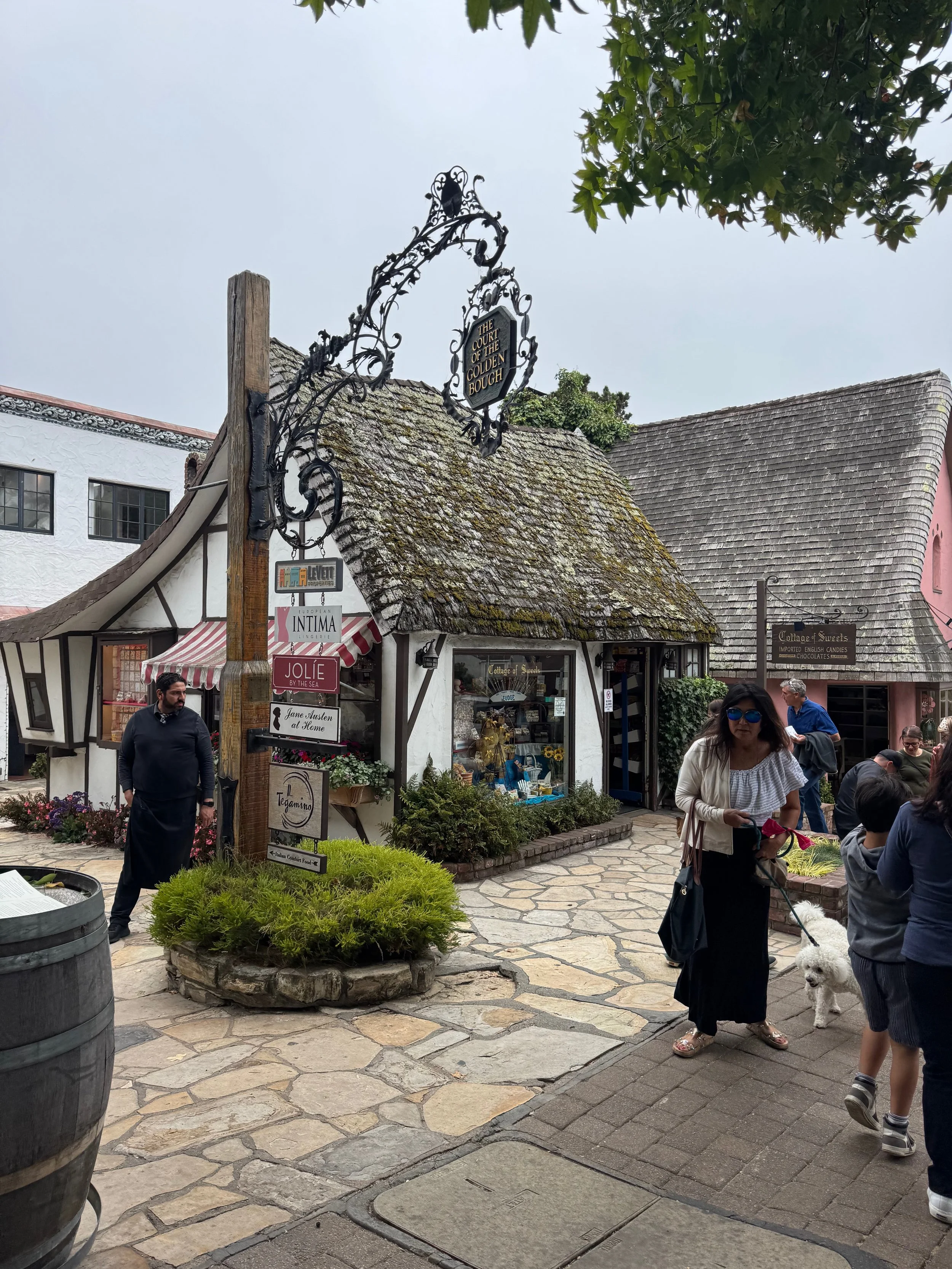
Carmel-by-the-Sea
Monterey
Monterey
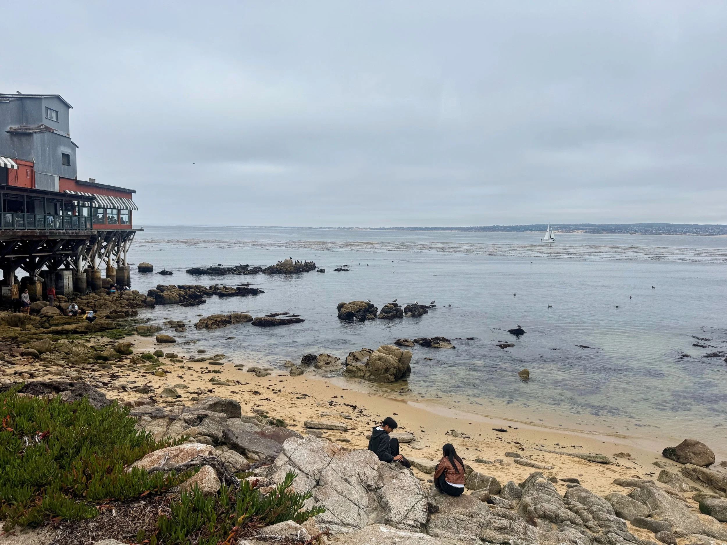
Compared to Carmel, Monterey has a very different vibe but equally worth checking out. We visited Monterey for dinner and to walk along the streets of Cannery Row. Cannery Row is an area of Monterey that was once home to the busy sardine-canning industry. There was a large boom of sardine processing factories but they all went out of business when the sardine population declined due to overfishing in the 1940s. Nowadays the factories have retained their industrial style but have been revitalized into hotels, stores and modern businesses. The gem of this touristy area is the Monterey Bay Aquarium, which is often sited as one of – if not THE – best in the world. The aquarium has a massive kelp forest exhibit, a massive tank with hammerhead sharks and sea turtles, a gallery of deep-sea creatures, and sea otters. The aquarium is right on the water and it truly feels immersive. Tickets are fairly pricey at $65 per adult and $50 for kids. The aquarium itself is by no means the largest aquarium, like Atlanta’s, but is a decent size and can take you anywhere from 1-4 hours. It can get quite crowded, so if you plan to visit – possibly choose to visit at the very beginning of the day. We skipped the aquarium this trip as we were traveling without our kids and wanted to save it for the next trip when we were with them.
Instead, we ate at one of the restaurants along the Cannery Row and looked out at the ocean at several of the public walkways around the aquarium. We were able to spot seals and sea lions from here.
Day 2
We were flying out this evening, so we packed up all of our things and loaded them into the car and check out of our hotel this morning. The theme of this day was sea otters. Along our Big Sur route, we did not spot any otters and were determined to not leave the area without seeing at least one.
Point Lobos State Natural Reserve
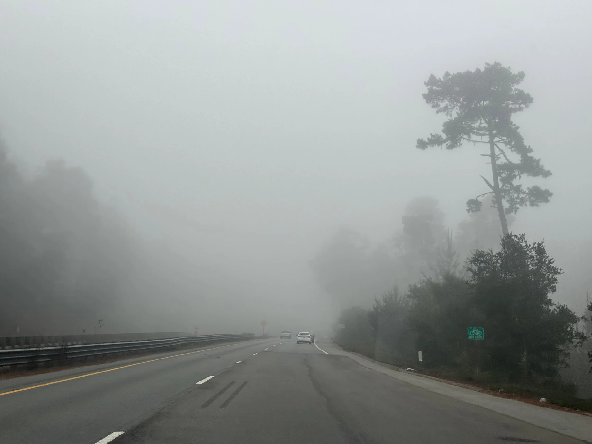
Everywhere in this area was gorgeous, but Point Lobos was the highlight. As we mentioned in Day 1, we attempted to visit Point Lobos State Natural Reserve the morning before shortly after it opened and the parking lots were full and people were parked along the street a far distance from the entrance. We were determined to get inside this day so we arrived 15 minutes before it opened. On our drive to the state park, there was quite a bit of fog and we worried about our visibility of the views on the trails but we were determined to go. We were approximately the 25th car in line and the line just kept increasing behind us as we waited for it to open. The park is open everyday from 8:00am to 7:00pm and the line started moving pretty much on time. Their credit card reader was intermittently working so they put out signs along the car line to buy parking via a QR code. Day use cost $10.
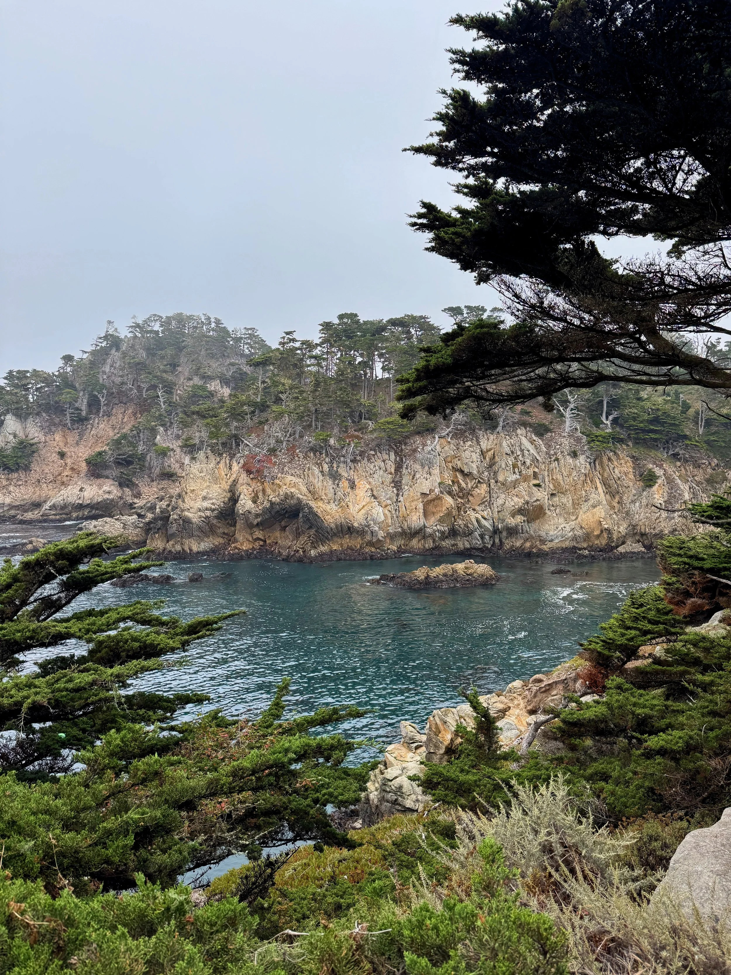
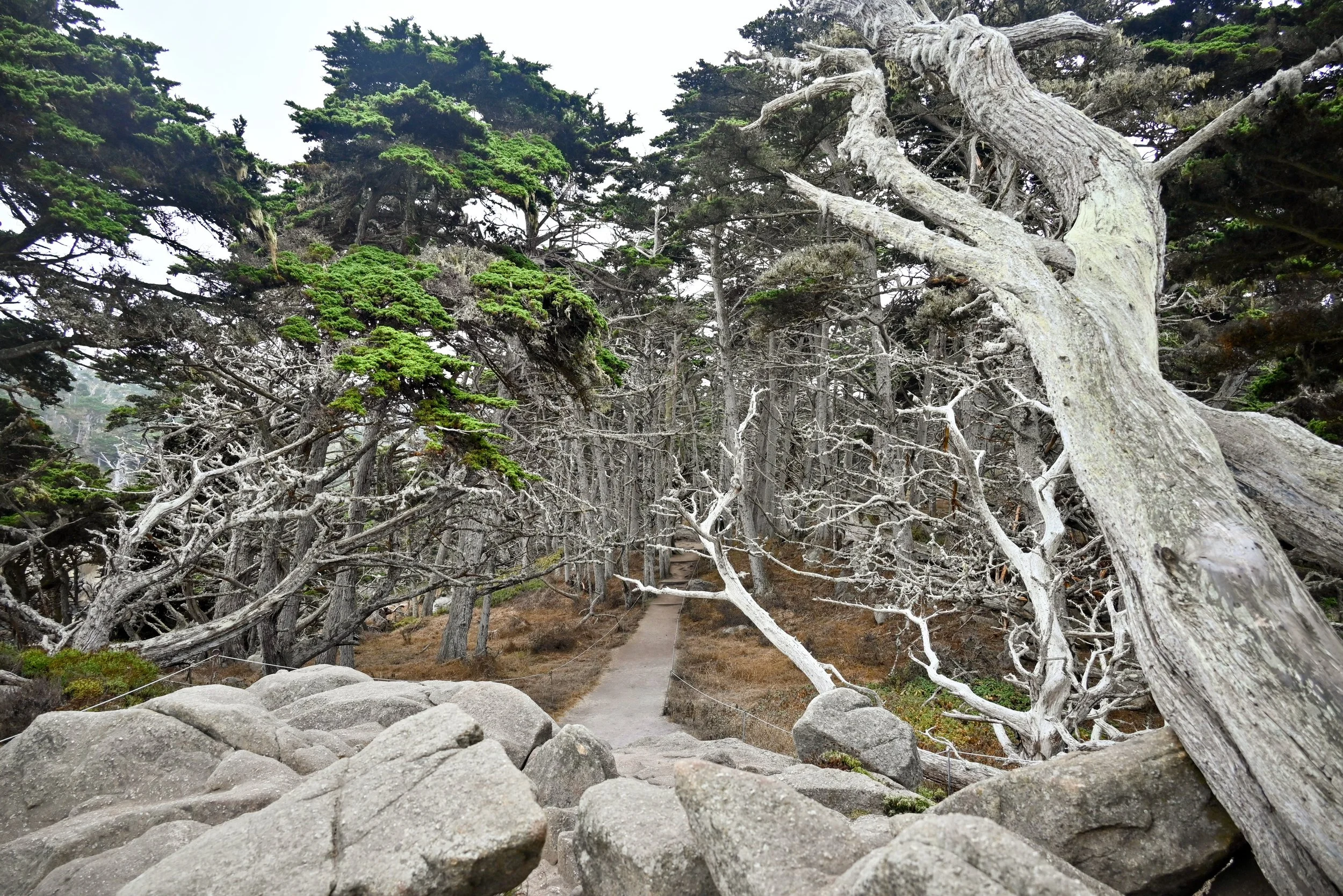
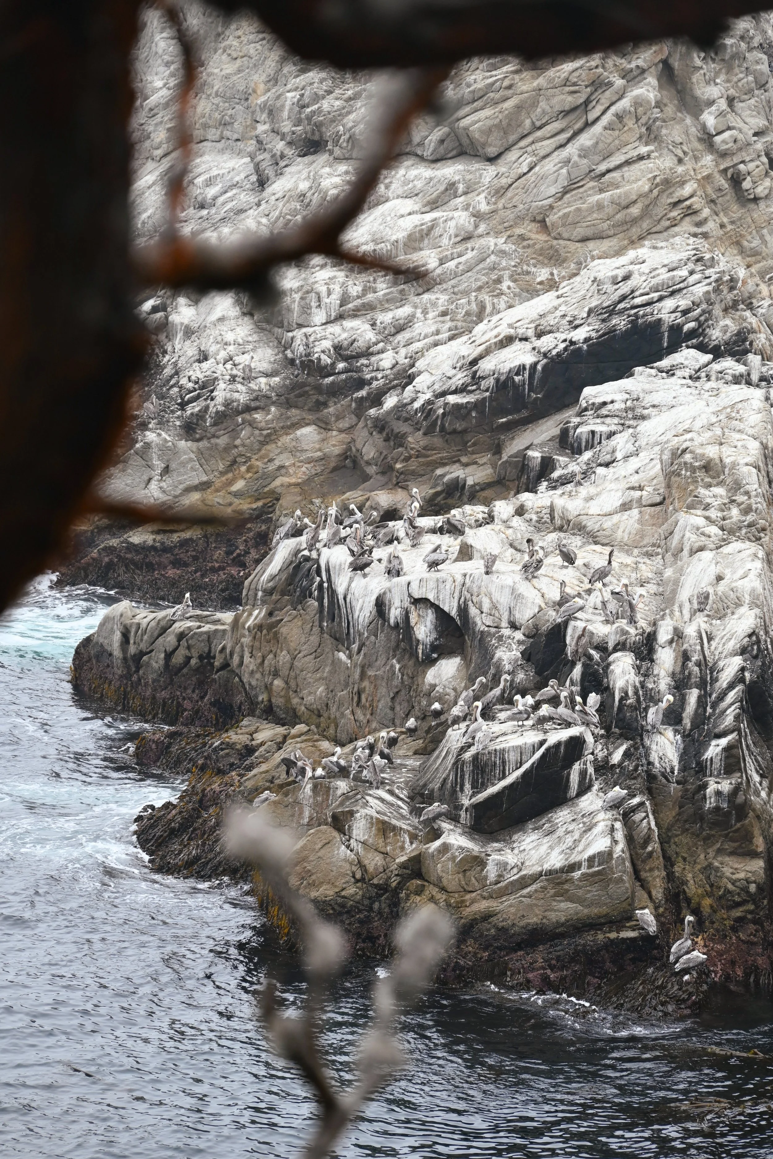
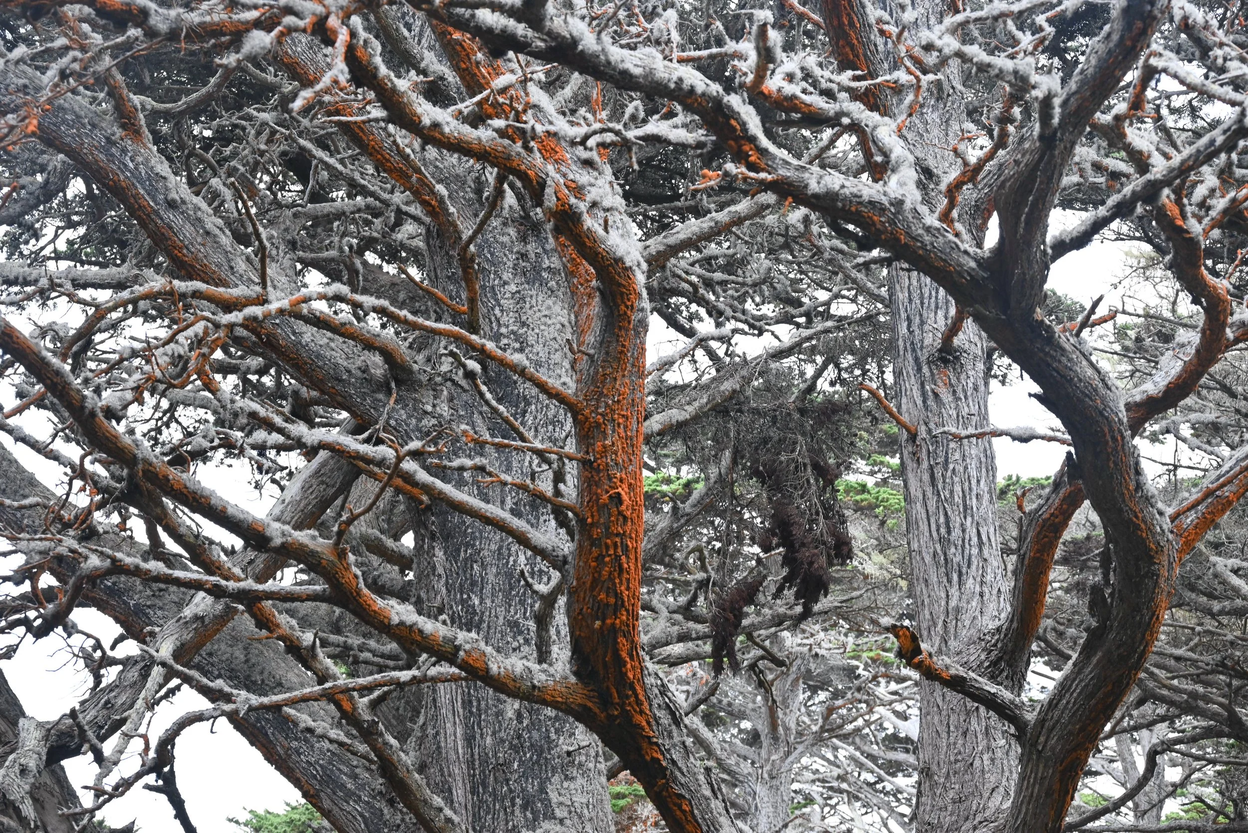
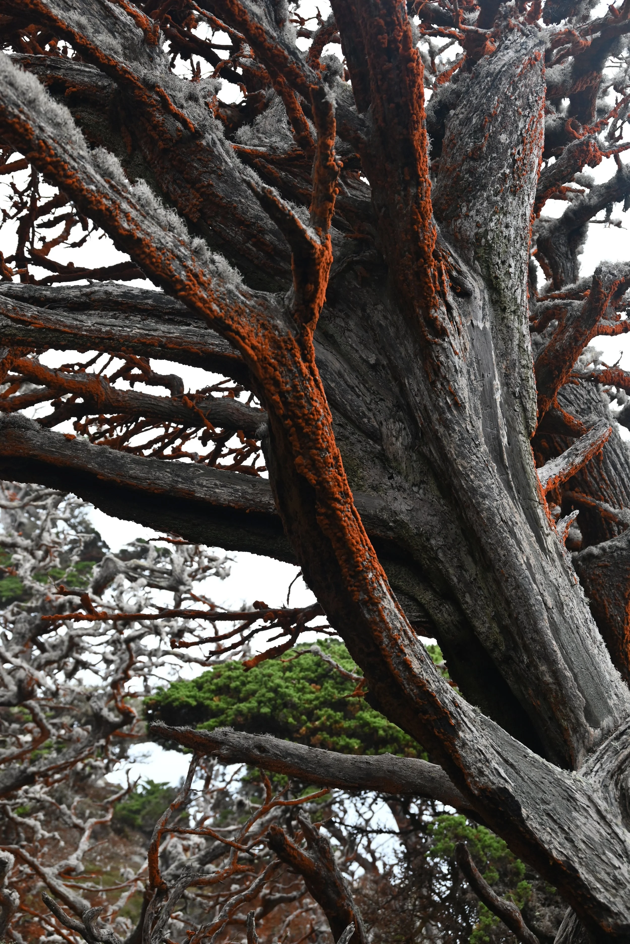
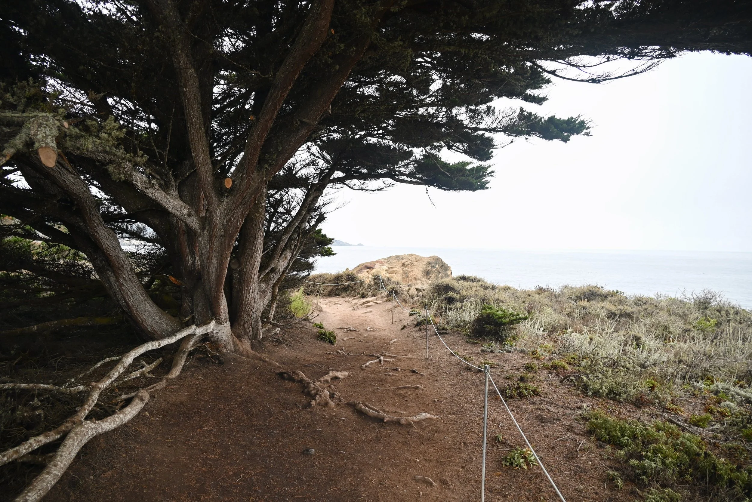
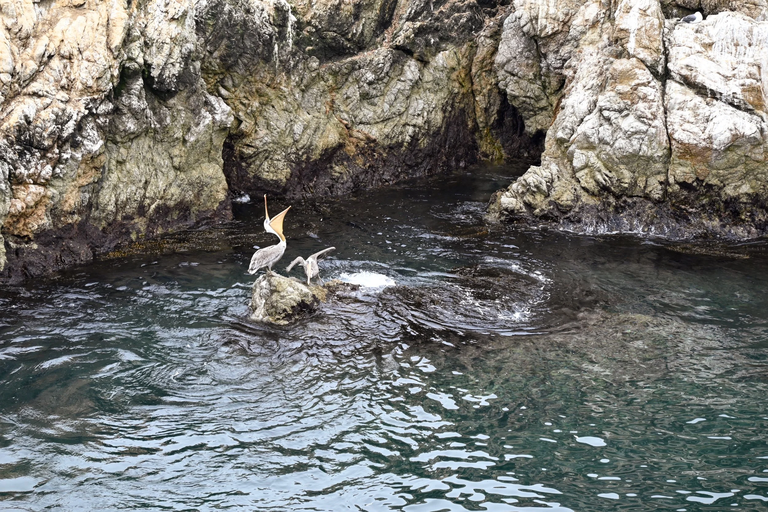
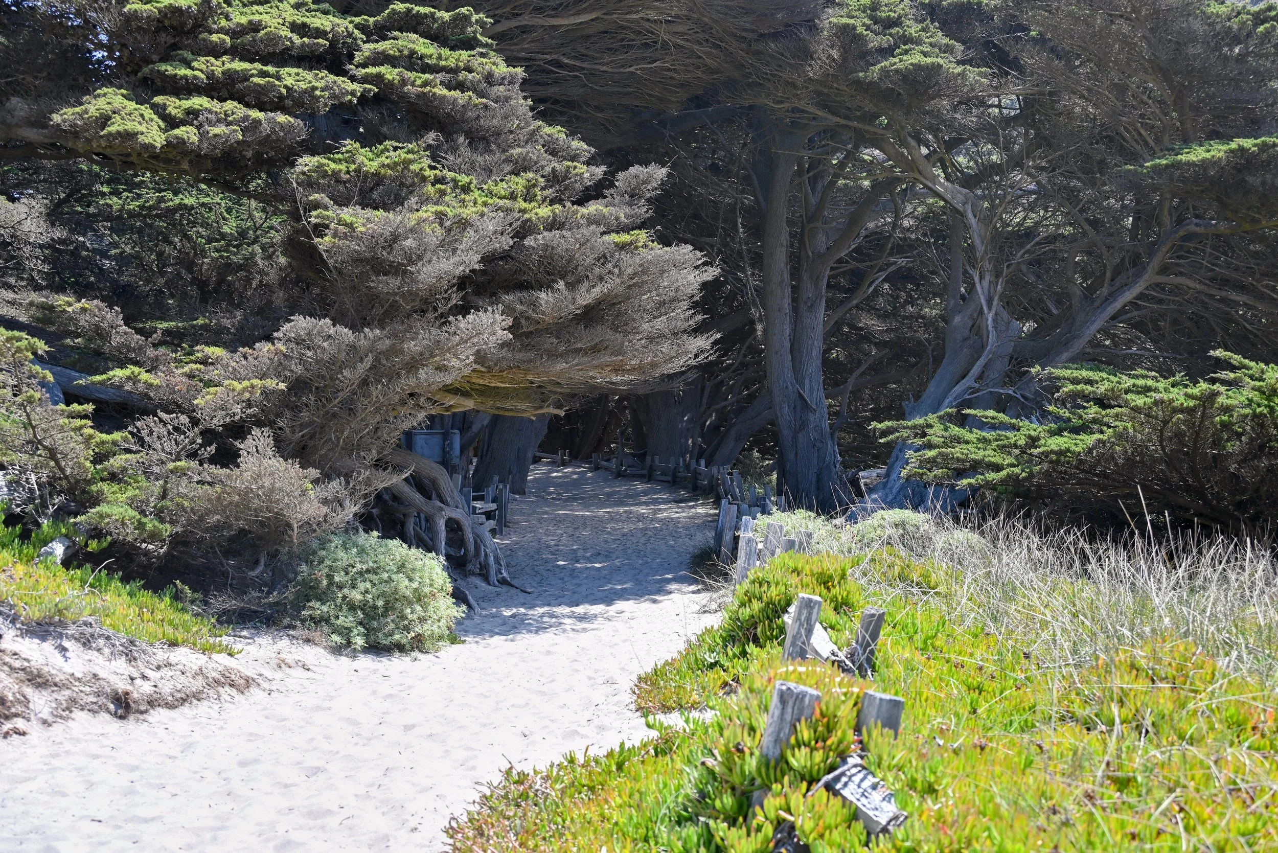
We made our way first to the parking lot near the Cypress Grove trail. There are numerous trails throughout the park and you could easily spend your whole day here exploring each of them. We chose to do 4 of them. We started with the Cypress Grove Trail, which is an easy 0.8-mile loop with one of a kind scenery. The famous Cypress trees on this trail are Monterey cypress trees which only grow in this bay in two locations – along this trail and in Pebble Beach (part of the 17-mile drive which we explored next). These are a couple hundred year old trees, unique in shape and also special for their trunks which often get covered with bright orange Trentepholia algae and green lace lichen. These trees used to exist over a much larger range, but now are just found in these two spots. Along with the trees, this trail is a great one for admiring the coves, wildflowers, kelp down below, pelicans, and possible whales in the distance. We were fortunate that the fog wasn’t too bad by the time we hit the trail and we got good enough visibility along with the moodiness of the remaining fog.
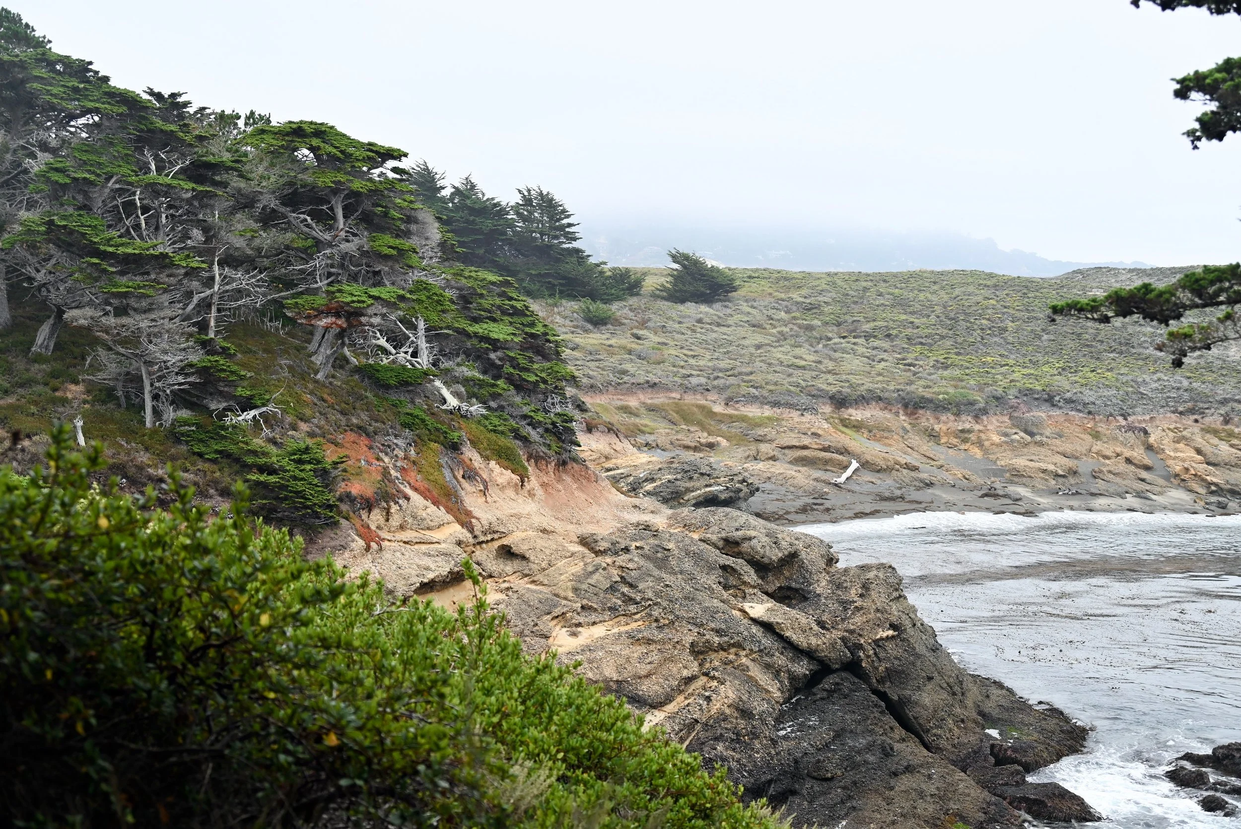
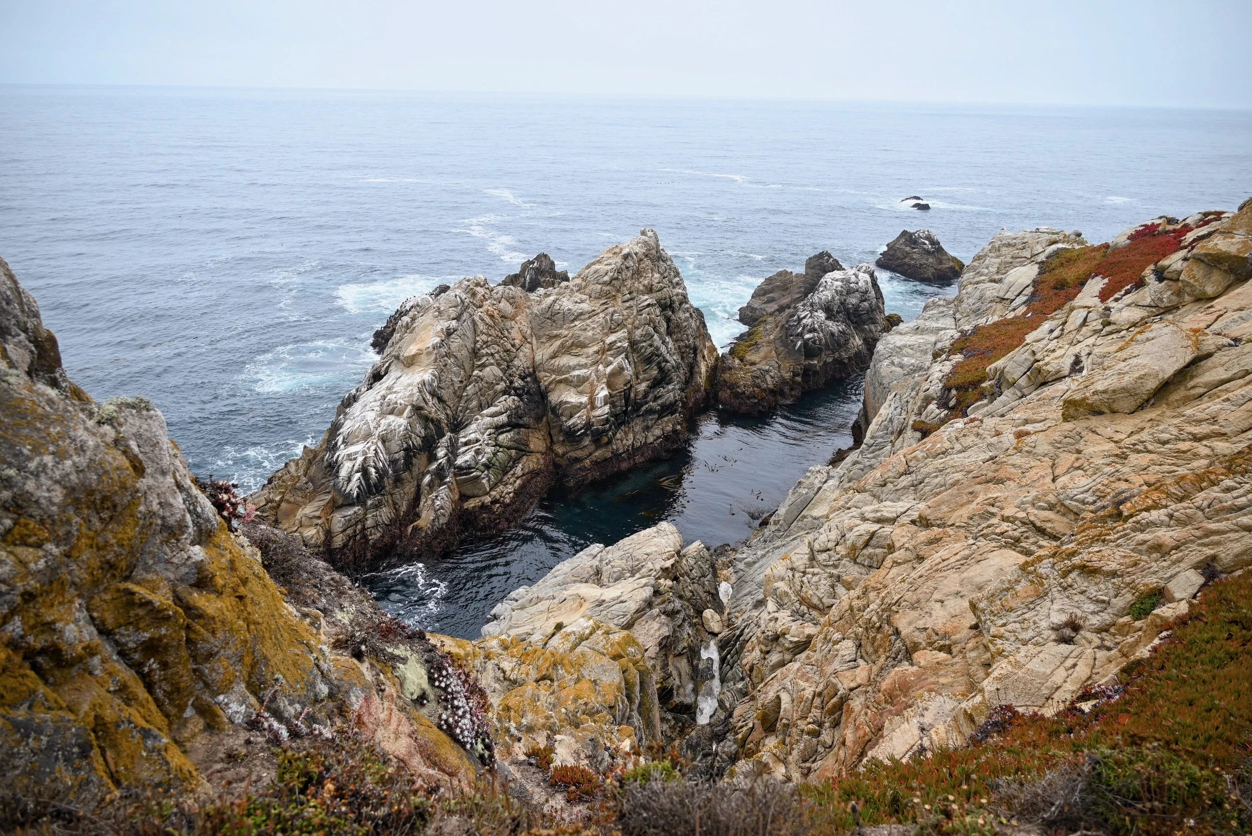
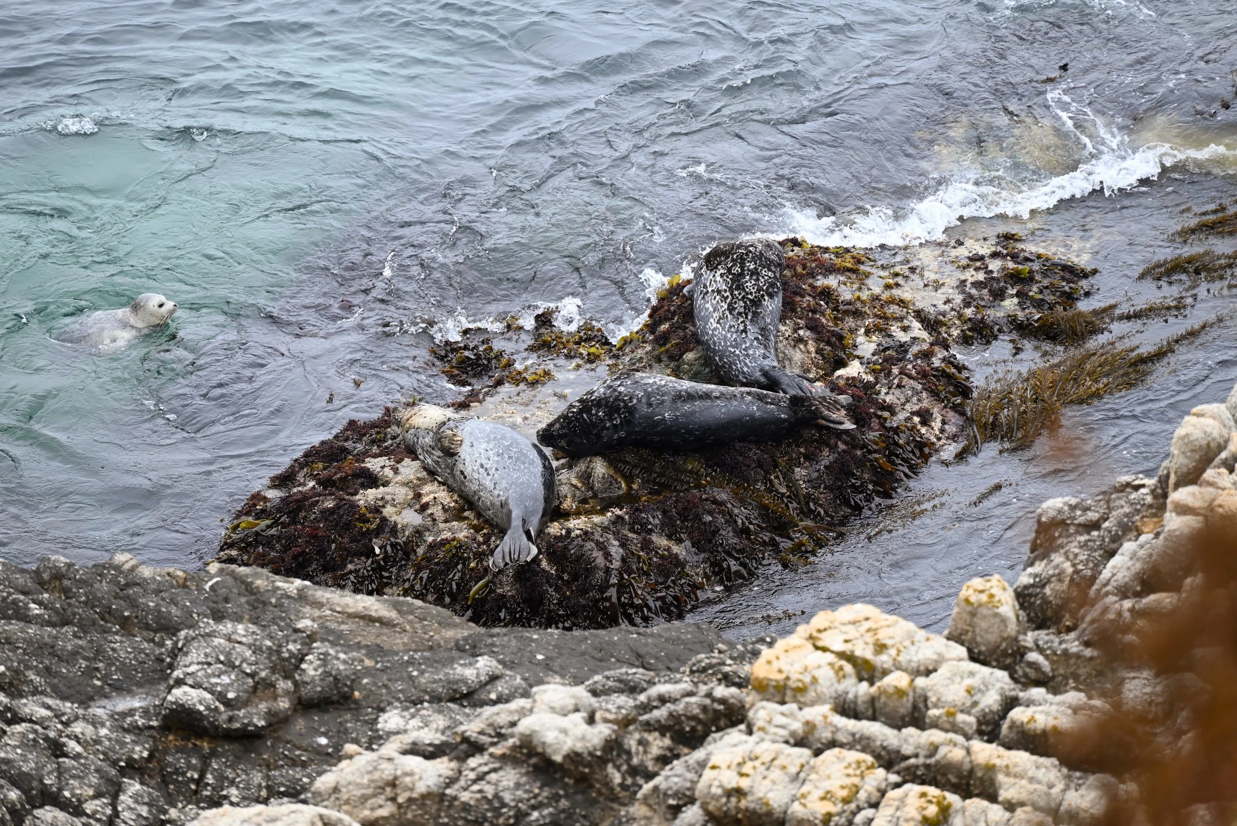
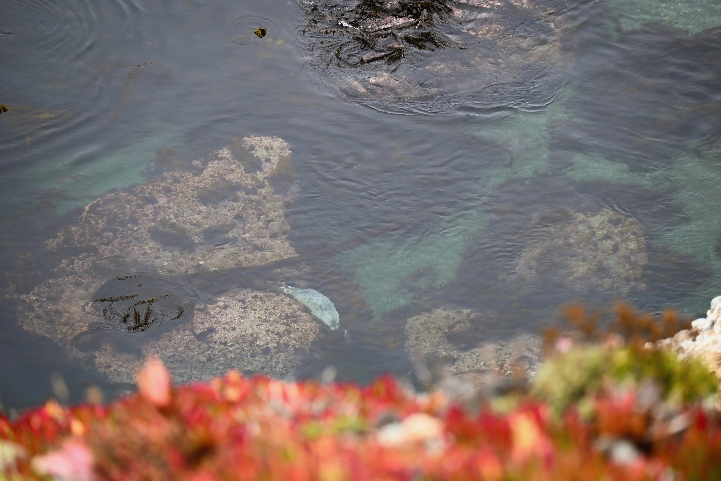
We kept our car parked where it was and walked over to the Sand Hill Trail. This was just a 0.6 mile accessible trail that makes a loop around Sand Hill. While it might not seem like much, we are very glad we did not skip it. There are beautiful colors in the scrub as you walk out to the overlook over the water. At the overlook you can often see marine mammals below. We saw (and heard) a lot of sea lions in the distance and watched a couple harbor seals playing right below us. You might also be lucky enough to see otters. One of the seals ended up following us as we walked along the water’s edge for about half a mile. Each time we looked out onto the water, there the little seal was with its unique spotted coat – playing with kelp, diving under, poking its head out.
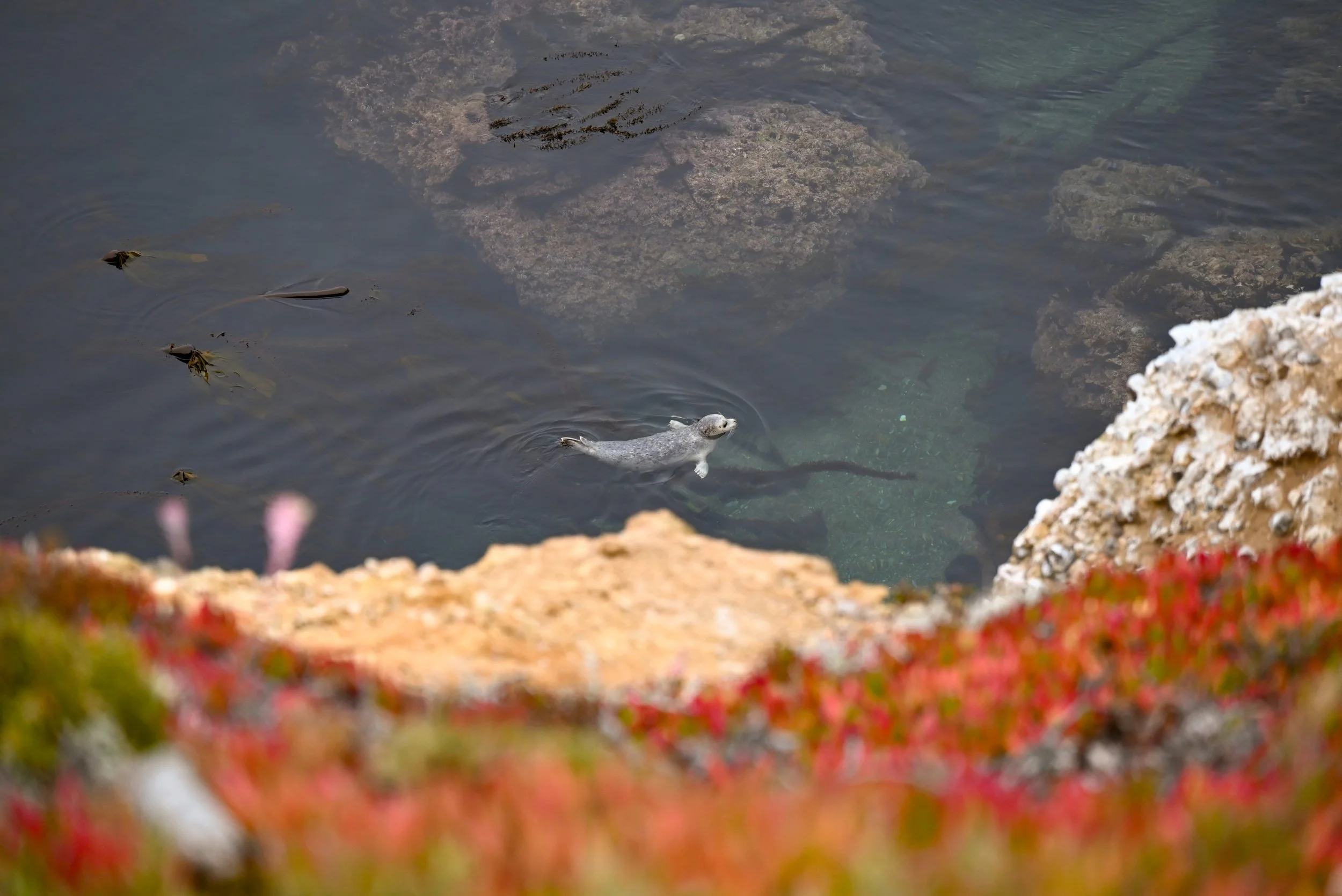
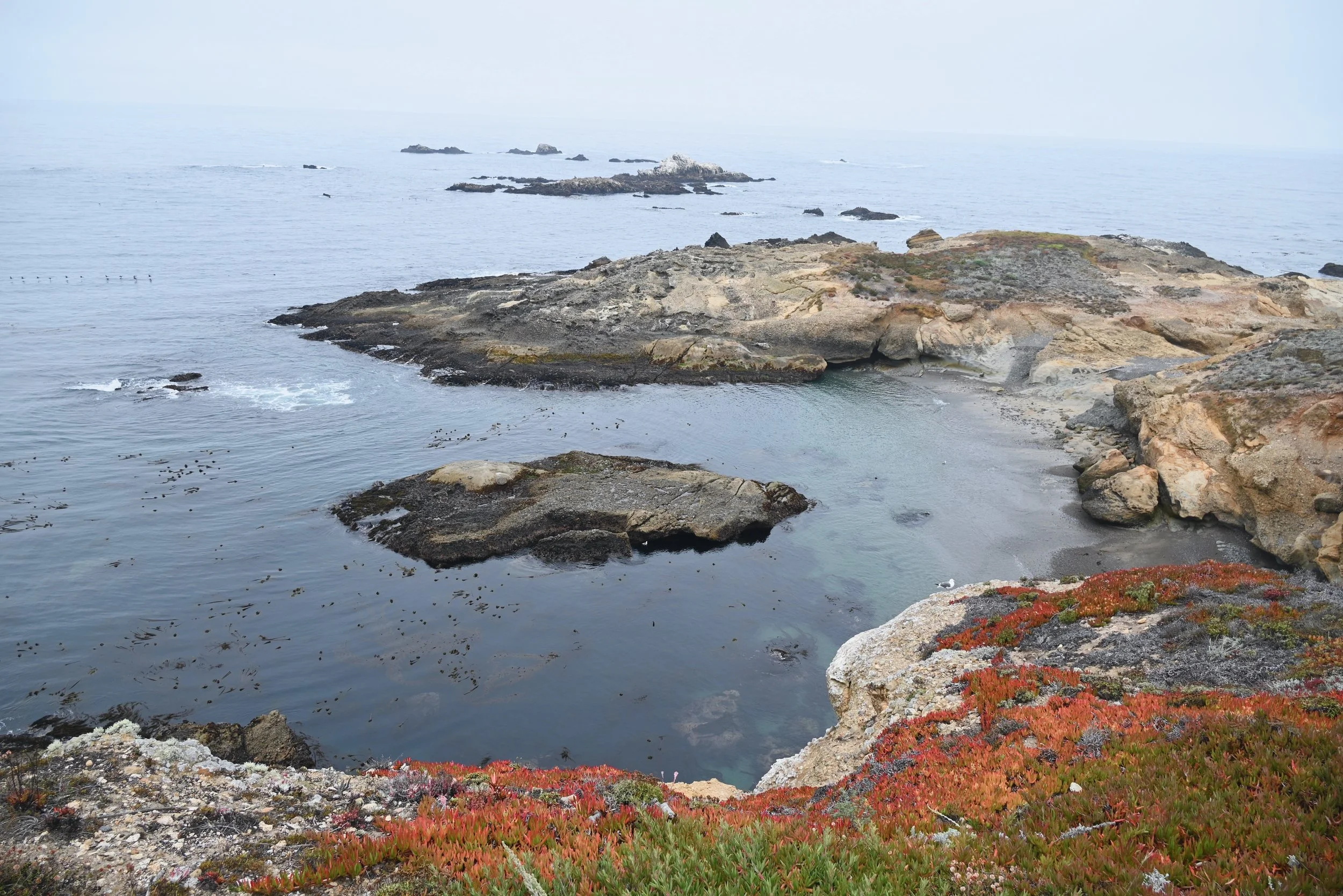
We connected onto the South Shore Trail from the Sand Hill Trail to get a better view of more coves - and our seal friend who followed us more. Once we lost the seal, after about 0.3 miles of the trail, we headed back to our car and drove to the parking lot for the Bird Island Trail. There are several smaller parking lots along the road for different beaches or to access the south shore trail, but we parked at the one at the end of the road.
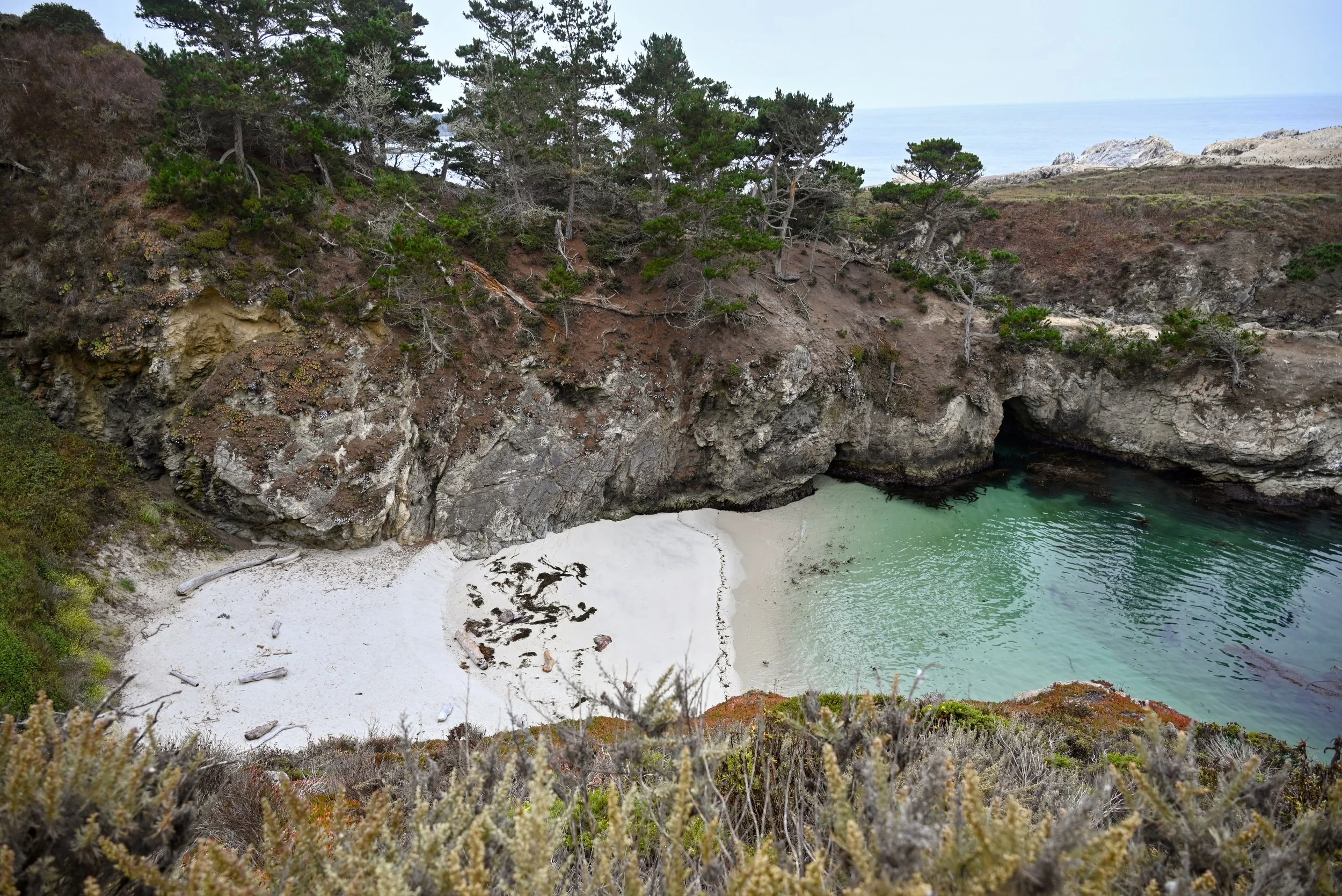
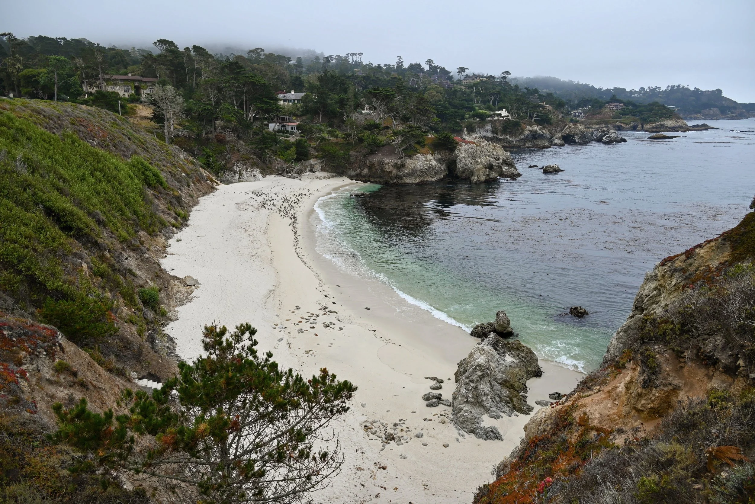
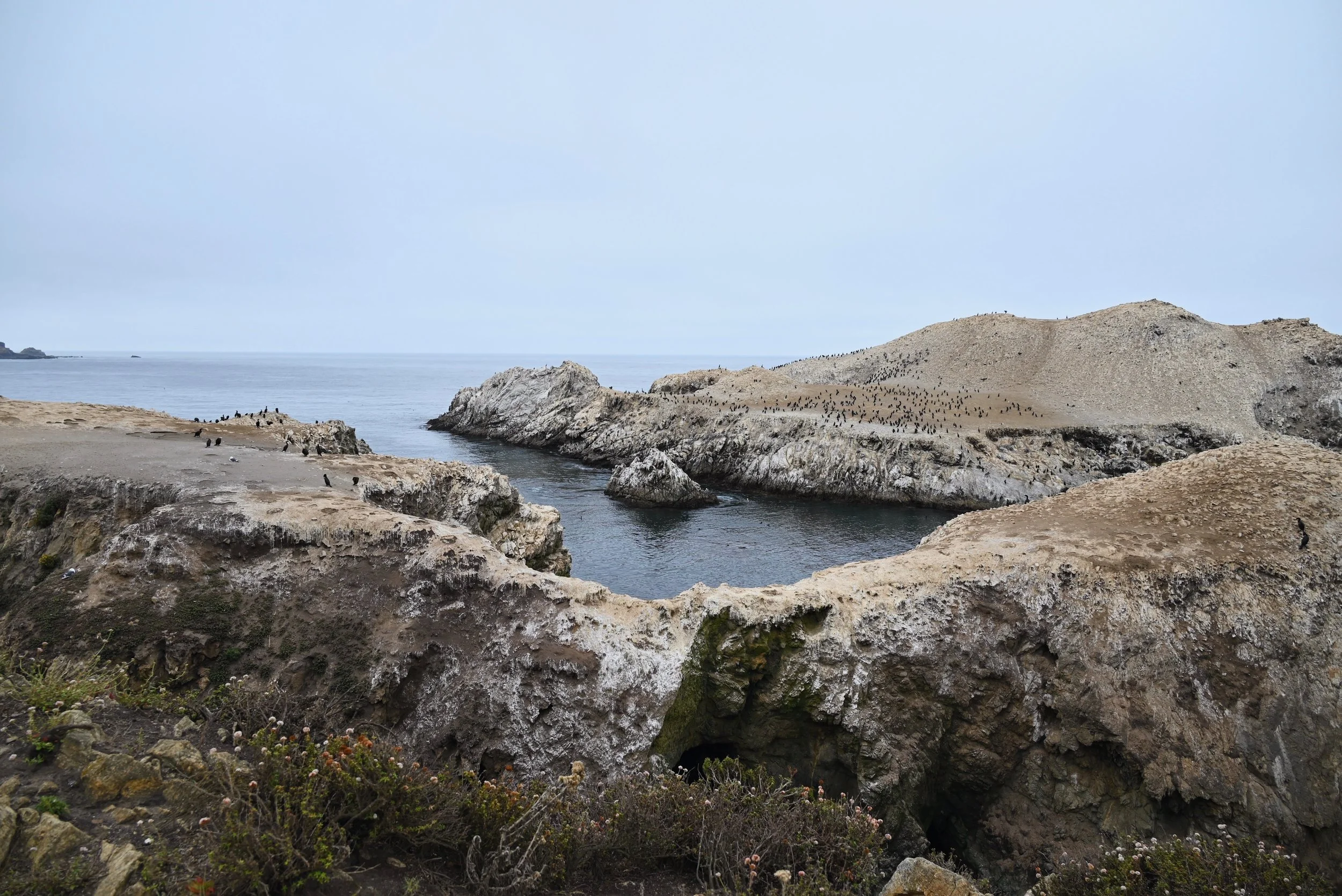
Bird Island Trail is an easy 0.8 mile trail that takes you onto a peninsula overlooking China cove and bird island. We loved this trail for both the scenery and wildlife. Bird island is not an exaggeration there were so many birds! There were also coves with beautiful turquoise water and white sand. Once we were almost back to the parking lot, we saw a group of 5+ otters including an older baby otter along with seals. There are often reports of seeing otters here, so this might be a great trail to see if your mission is to spot some.
All of these trails and stops to watch the wildlife took us from 8:00am to 10:15am or 2.25 hours.
17-Mile Drive
From state park to privately owned scenic drive in the gated Pebble beach neighborhood. 17-mile drive takes you through Pebble Beach, which is a resort and golf community with hotels, golf courses, multi-million dollar homes. The scenic drive cost $12.50 per vehicle and is paid at one of the many gates to enter the community. We chose to enter in via the Pacific Grove Gate, which is often regarded as the best entrance as you will drive on the coastal side and have an easier time pulling into each parking lot. The drive is, you guessed it, 17 miles long and the map they give you lists 17 points of interest. We stopped at least half of them. It gets a bit repetitive and tedious to park and get out of the car 17 times. Here are the spots that I would prioritize:
Spanish Bay Beach (point 3) – a nice sandy beach and boardwalk
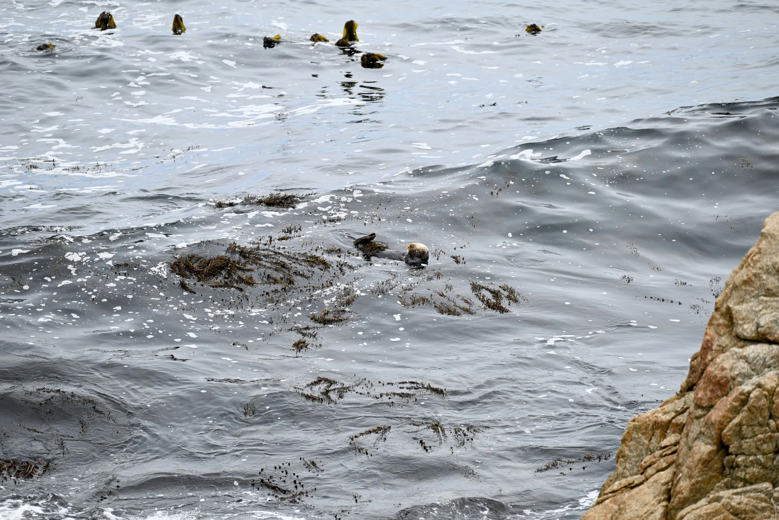
Point Joe/Restless Sea (point 4&5) – can be viewed from the same parking lot. It is mesmerizing watching the waves crashing into each other and against the rocks. We spotted a couple otters holding onto kelp and sleeping just a short distance from the shore here.
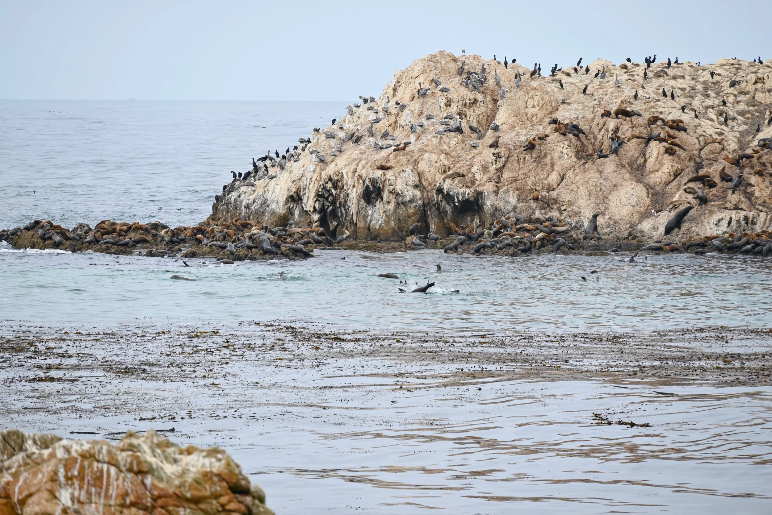
Bird Rock (point 7) – ironically had far more seals than there was at seal rock. We saw a ton of seals and sea lions, along with birds, both on the rock and swimming in the water in front of it. The Seal Rock stop (8) was nice but okay to skip.
Crocker Grove (point 11) – if you did not see the Monterey Cypress trees in Point Lobos State Natural Reserve, then this is the only other native place you can see them in the world. If you saw them at Point Lobos, this stop is likely not worth it.
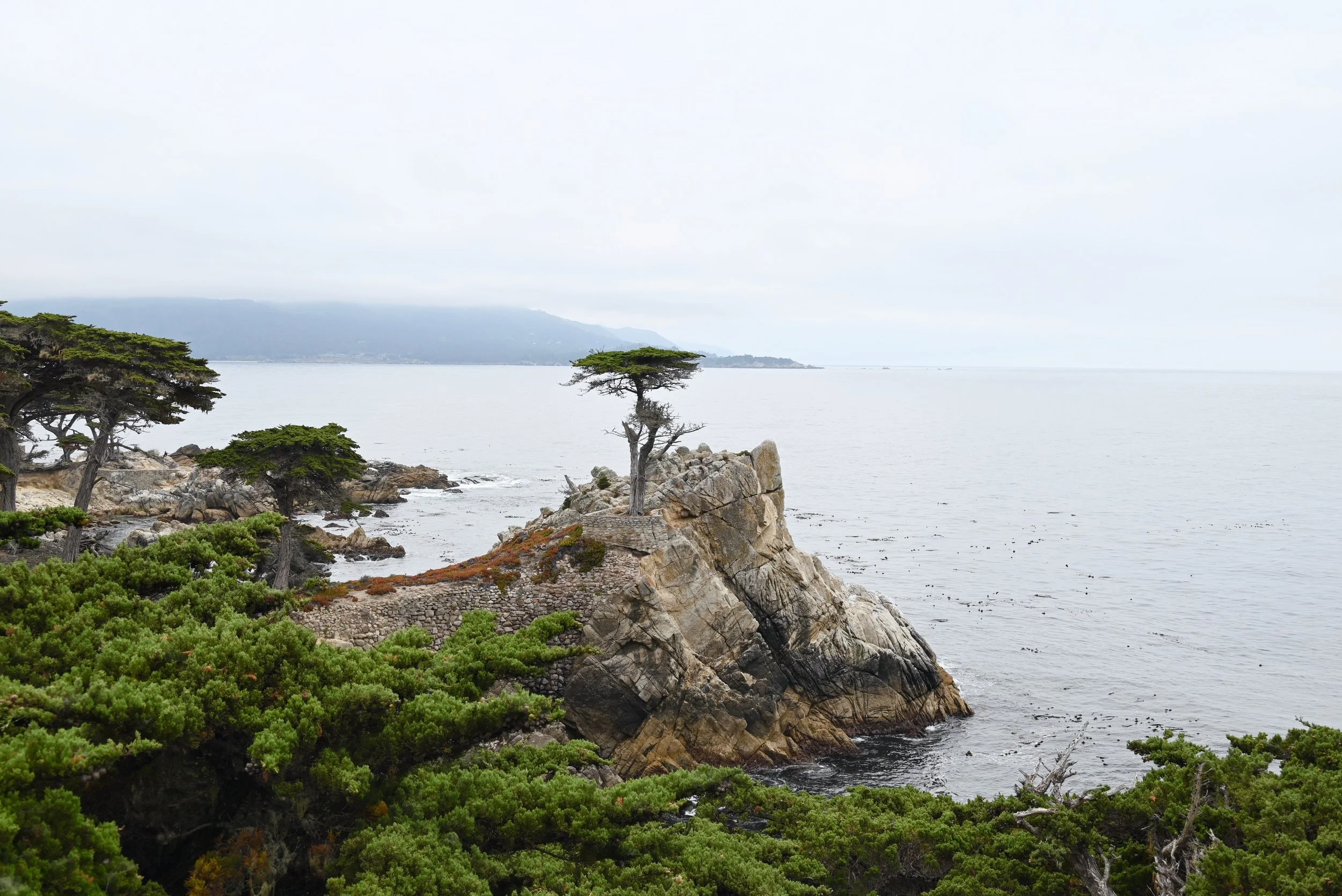
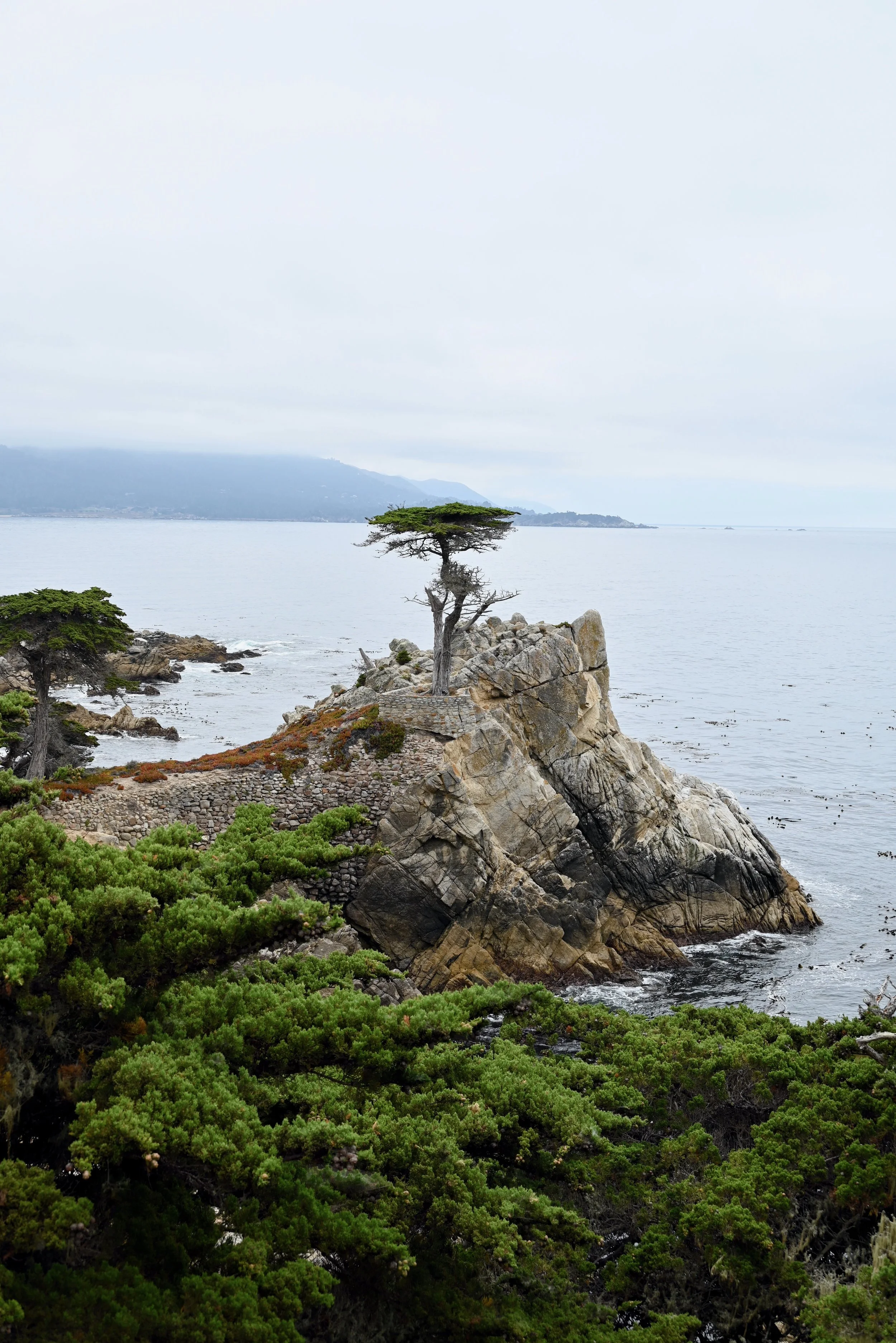
The Lone Cypress (point 12) – One of the most photographed trees in North America and a symbol of Pebble Beach, this tree is known for its resilience. It is a 250-year-old tree clinging onto a rock on the coast, a coast known for its winds and rough surf. Nowadays it is helped by a retaining wall and cables and doesn’t look exactly the same as the logo as storms have caused some damage. This is one of the most popular stops along the drive.
It is worth doing the whole route and stopping at the places that excite you. There is also a visitor center, the lodge and other hotels where you can get food or souvenirs. In total it took us just over an hour to do the drive and make all the stops we did.
Pacific Grove
We were hungry for lunch at this point and were eager to see more otters, so we headed over to Pacific Grove’s Lovers Point Park. If you are eager to swim in the ocean on your trip, this would be a great place to do so. Lover’s Point beach has calm water for swimming or kayaking. We saw lots of families enjoying the water. There were multiple options close by for food. We got a quick bite at the cafe and walked along the Monterey Bay Coastal Trail up to Otter Point. It is about 0.7 miles each way to Otter Point but the walk is gorgeous the whole way and you can stop and turn around at any point. It also carries on a lot farther and connects with other ocean front trails if you want a longer walk. You can also park along most of Ocean View Blvd and take in the views without the walk.
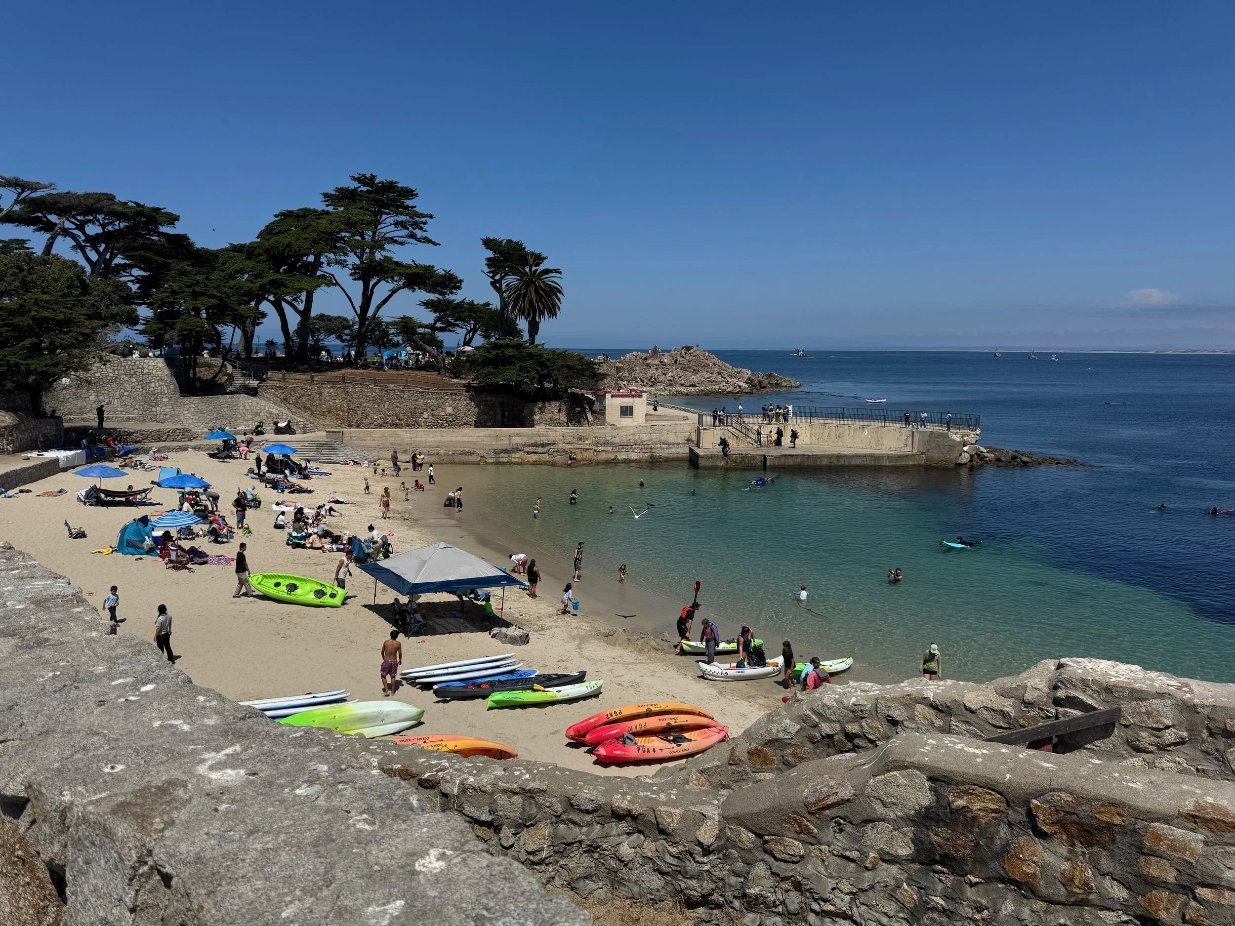
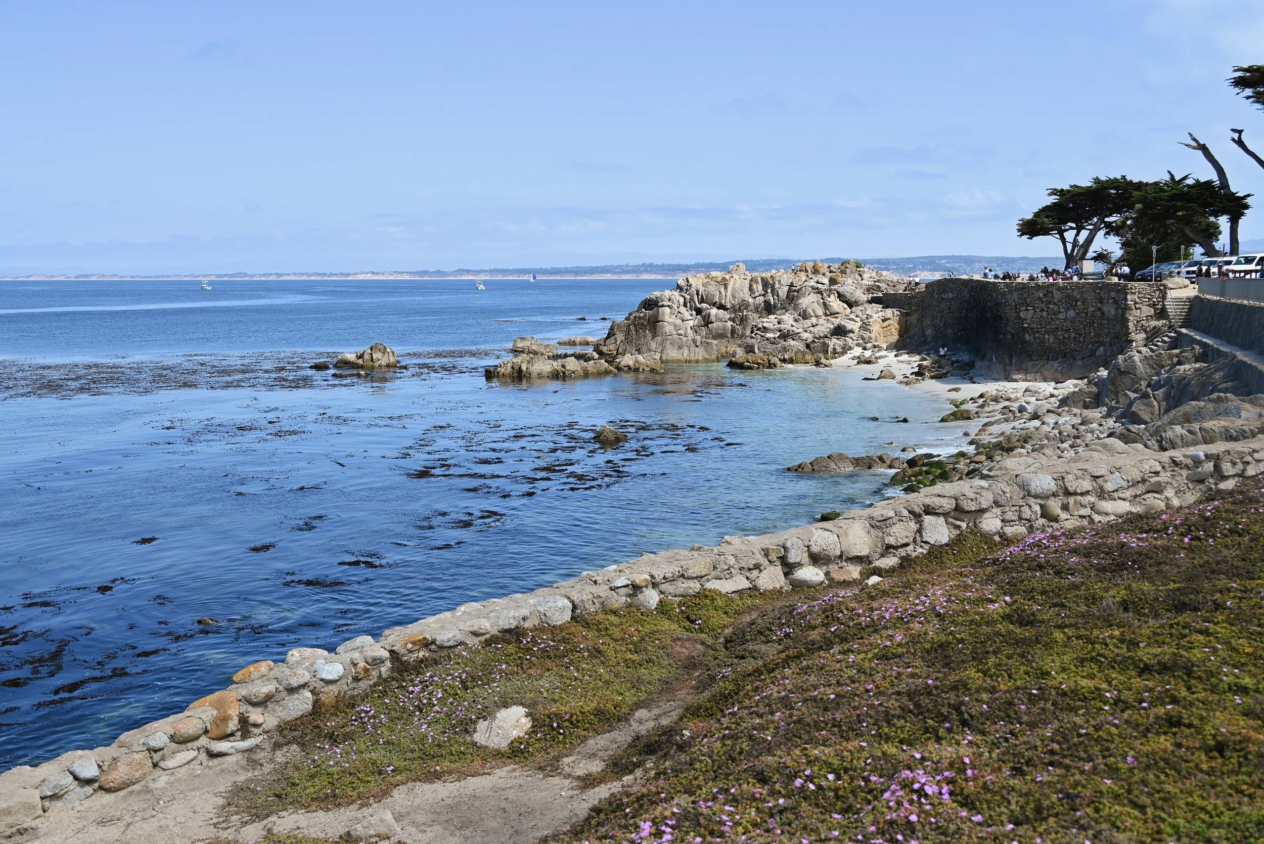
We did not see any otters at Otter Point, or elsewhere along our walk. Which we expected to some extent due to the time of day and how lucky we felt seeing otters at the previous places. I have heard that often times the otters here are a bit farther out, so bring binoculars. We did see seals and sea lions. Along with several people not respecting their space – so please stay back from marine mammals if you encounter them. We also saw lovely wildflowers and so many ground squirrels.
Elkhorn Slough
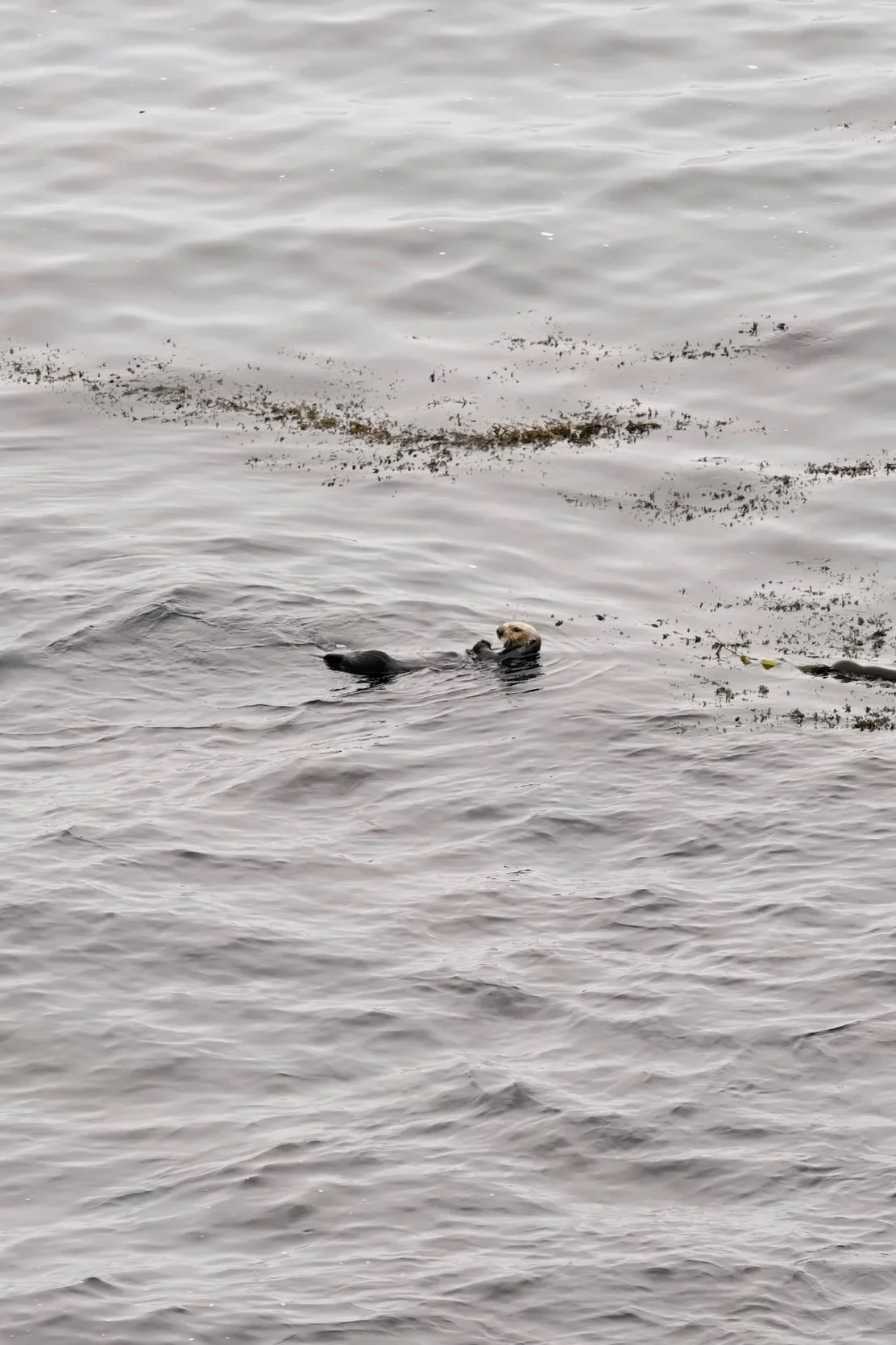
We were so fortunate to see some otters in Point Lobos and 17-mile drive, but wanted to see more so we headed out to one of the best places to see otters in the area - Elkhorn Slough. It is about a 30 minute drive from the 17-mile drive, through farm land up to Moss Landing State Beach. Off of highway 1, turn left onto Jetty Rd. We were not even 20 feet in before we spotted otters off to the right. We pulled off and got to watch an otter eating. Swimming down and disappearing for a minute, grabbing a clam or crab, opening it with a rock and eating it, then repeating. We saw about 10 otters in total while here, but different points of the year and time of day you can often see more. There are about 120+ otters that reside here in this estuary, which means it has the largest population of southern sea otters. You can park at any of the parking spots along Jetty Road and look out for otters and Sea Lions. We saw them throughout the area, including in the boat entrance channel at the end of the road. Be sure to give the otters and seals space and enjoy their cuteness from a distance. You can go over the bluff and enjoy the nice beach on the other side.
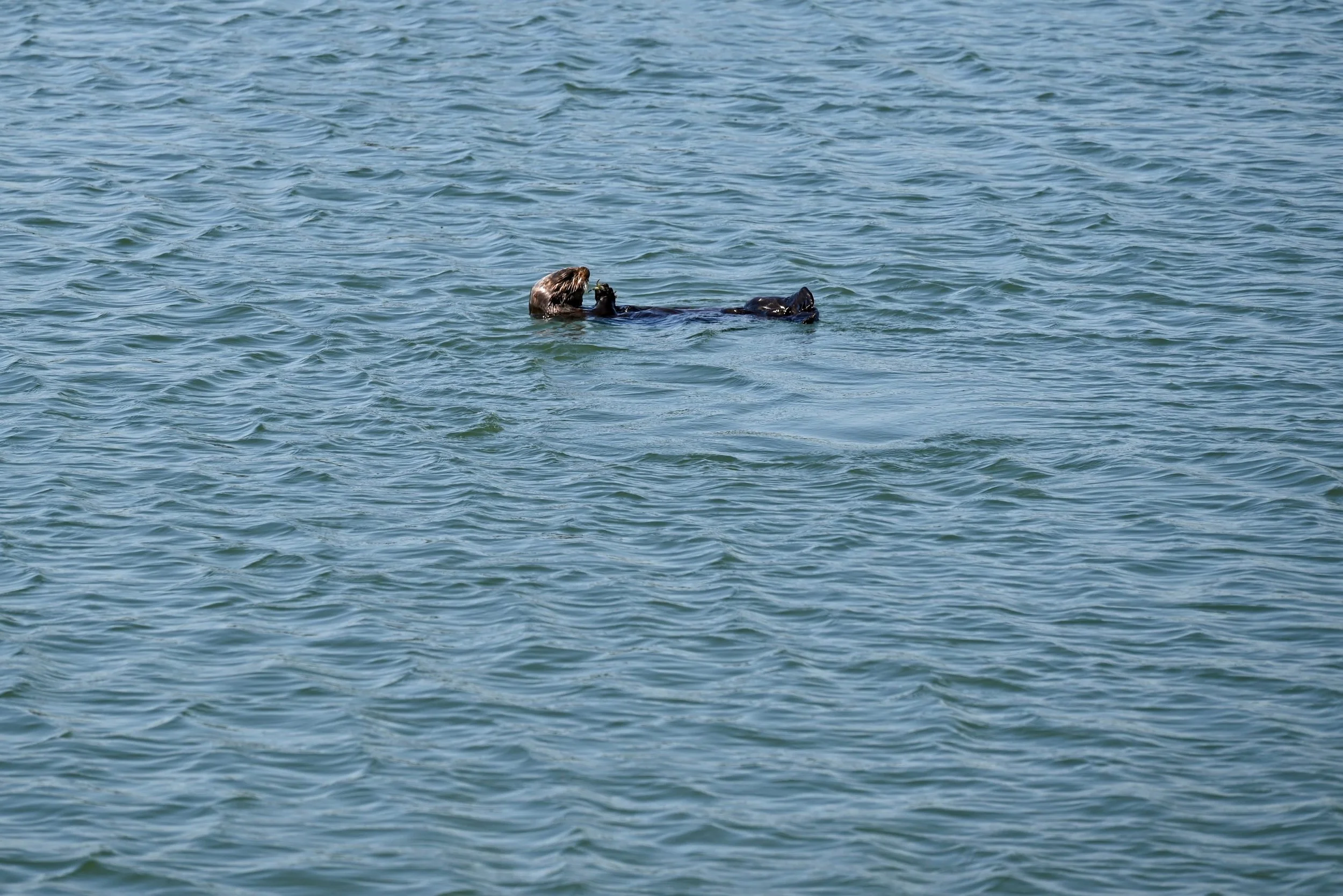
If you were wondering like me the best time of year to see sea otter babies – it is in the spring or March through May. Technically southern sea otters can give birth year-round, but births often peak near the beginning of the year. And for the best time of day to see sea otters - early mornings and late afternoons when the water is calmest and they are most active. For reference, we were there at 3pm in August.
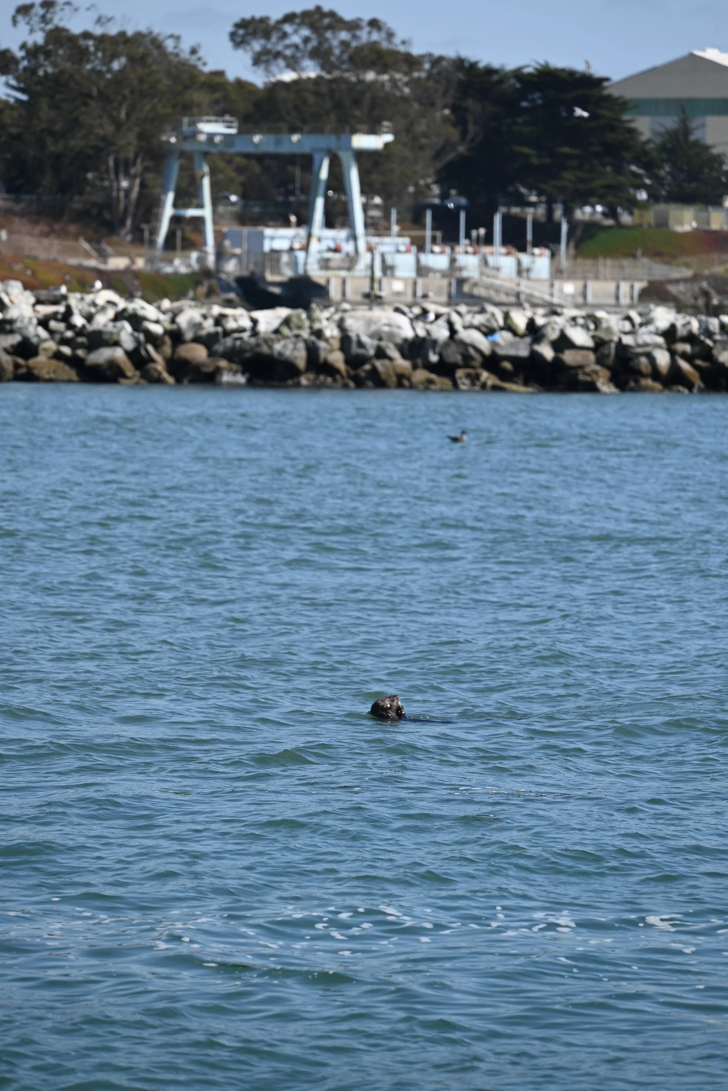
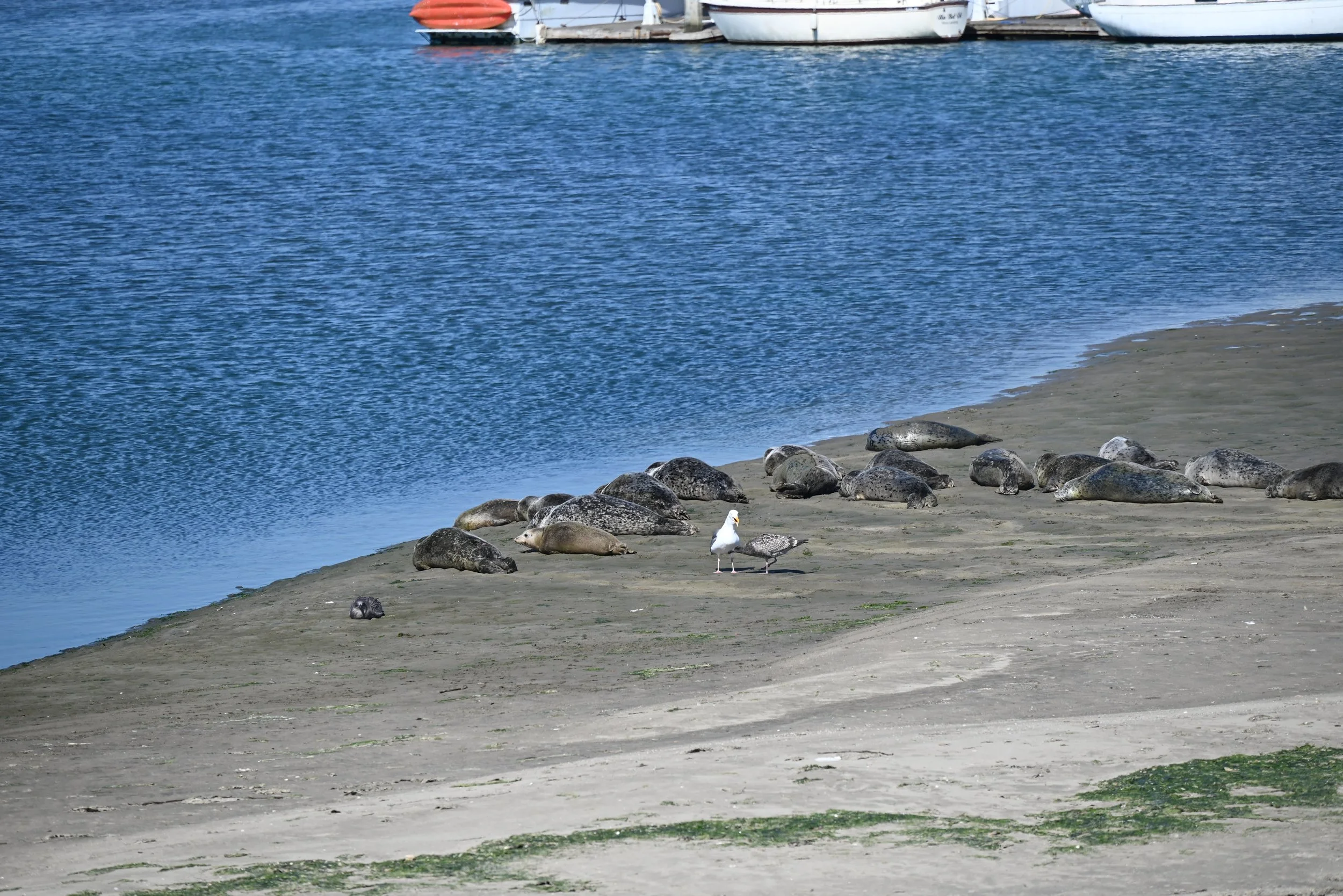
If you have more time, you can go on a boat tour to see otters. There is a naturalist guide on board who will give the inside knowledge of the otters along with the sea lions, birds and their habitat. If you are a bit more adventurous, you can also rent kayaks or go on kayak tour of the area. If you do rent a kayak, be sure to give otters space. Legally you need to stay at least 5 kayaks lengths away from marine mammals. Alternatively, you can also hike through the Elkhorn Slough Reserve and spot otters, birds and other wildlife from the trail. There are about 5 miles of trail in the Elkhorn Slough Reserve that look out over the salt marsh, a nice boardwalk trails. There is also a nice visitor center here and lots of signage along the trail for information. It is free to visit. I will note that if your main goal is otters, then the best area to spot is often near Moss Landing State beach or on a boat tour.
Old Fisherman’s Wharf
We used up the last bit of our time in the area on Old Fisherman’s Wharf. We got ice cream at Revival Ice Cream a short distance from the wharf, which had more affordable parking nearby, and walked over. On the way, we walked through Monterey State Historic Park, which was hosting a festival. Old Fisherman’s Wharf itself is a historic pier that has a unique charm. It is definitely touristy and most of the shops are quite pricey selling the same bowl of chowder or the same souvenirs. It was quite crowded on a Sunday afternoon and was a bit claustrophobic to walk around at times. However, with all of the negatives - it was still a cool place to visit. It has been around for decades and is highly nostalgic for people. You can spot animals right off the pier or go on one of the whale watching boats.
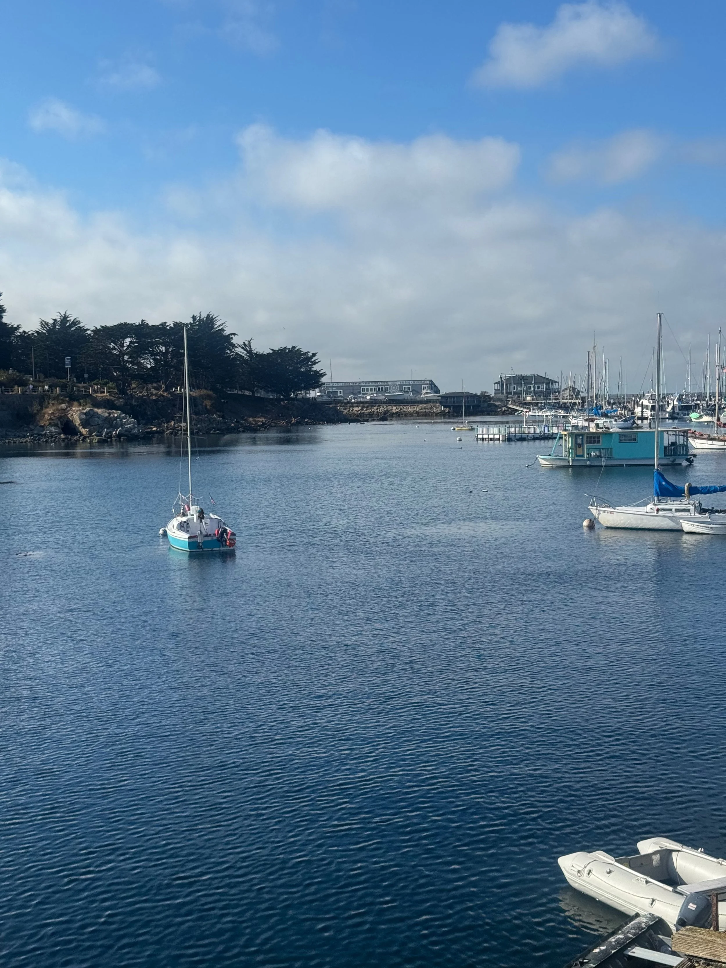
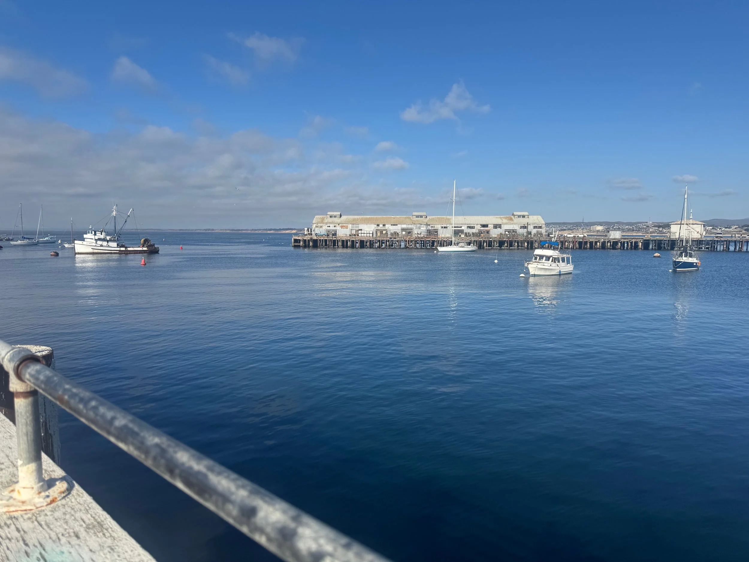
We watched the time and headed back to our car when it was getting time to catch our flight home.
More places to visit
Within the itinerary above, I have mentioned several ways to individualize the itinerary to make it fit your group from kayaking to the Monterey Bay Aquarium to longer or shorter hikes. Here are some more places to visit that I haven’t already previously mentioned including spots further down Big Sur on Highway 1 or spots within Carmel or Monterey.
Pfeiffer Big Sur State Park – Not to be confused with Julia Pfeiffer Burns State Park or Pfeiffer Beach, this state park is more inland and offers great hikes through the redwoods and the largest campground in the area.
Andrew Molera State Park – Less crowded than some of the other coastal stops if you want hiking trails without many people. There are trails through meadows, forests and coastal bluffs. There is also a beach popular for surfing.
Point Sur Lighthouse – cute historic lighthouse that can only be visited with a guided tour operating on a first come first serve basis. The tour is about 3 hours long, $15 and requires a steep climb.
Limekiln State Park –Beautiful trails through the woods with a creek, falls and beach access.
Sand Dollar Beach – longest continuous sandy beach in Big Sur
Salmon Creek Falls – A short hike to the 120-foot waterfall.
Willow Creek Beach – nice relaxing beach with a beautiful overlook
Mission San Carlos Borromeo de Carmelo – One of the most beautiful Missions in California with beautiful gardens, fountains, architecture and artifacts. The Carmel Mission was founded in 1770. Admission costs $15 for adults and allows you to walk through the mission self-guided.
Carmel River State Beach – Nice public beach near Carmel with lagoons, tidepools, white sand, and more.
Whale Watching – We’ve been whale watching in many locations around the world and it is one of the most magical things you can do. From Monterey’s Fisherman Wharf you can board a whale watching boat and see Humpback whales, Orcas, Gray Whales, Blue Whales, Sea Turtles, Mola Mola, Sea Lions, Otters and more.
Kayaking in Monterey Bay – Another way to get out on the water is kayaking. We mentioned kayaking earlier from Elkhorn Slough, but you can also rent kayaks right in Monterey.
Asilomar State Beach – One of the best beaches in the area for tide pools. Found in Pacific Grove, this beach is also great for walking, surfing or kayaking.
Point Pinos Lighthouse – one of the oldest continuously operating lighthouses on the west coast. You can visit and go inside the lighthouse on select hours for $7 per person.
Monarch Grove Butterfly Sanctuary – If you are visiting from November to January, this butterfly sanctuary is a must visit to see these beautiful butterflies that overwinter here.
What to Bring
Big Sur is known for its beautiful landscapes and charming coastal towns, which leads to a unique packing list. There is hiking, dense fog, upscale dining, and active outings. Here are some of the things I’d recommend considering to add to your suitcase:
Clothing
Outdoor adventure items
Sunscreen
Sunhat
Cash, helpful to have anytime you are traveling for food & parking
Collapsible soft cooler for packing lunch on your outing
Along with what you are packing in your suitcase, there are a few other things to do before your trip to prepare. Cell service was absent for large stretches of the coast and the drive. It is very helpful to download offline maps in either Google Maps or Apple Maps of the area you will be in. If you are going on any trails, I would also recommend downloading the trail routes on Alltrails or off the state park’s website. If you wanted to listen to music, podcasts or audiobooks, those might be helpful to have downloaded onto your phone as well.
Pfeiffer Beach in Big Sur
What to Read
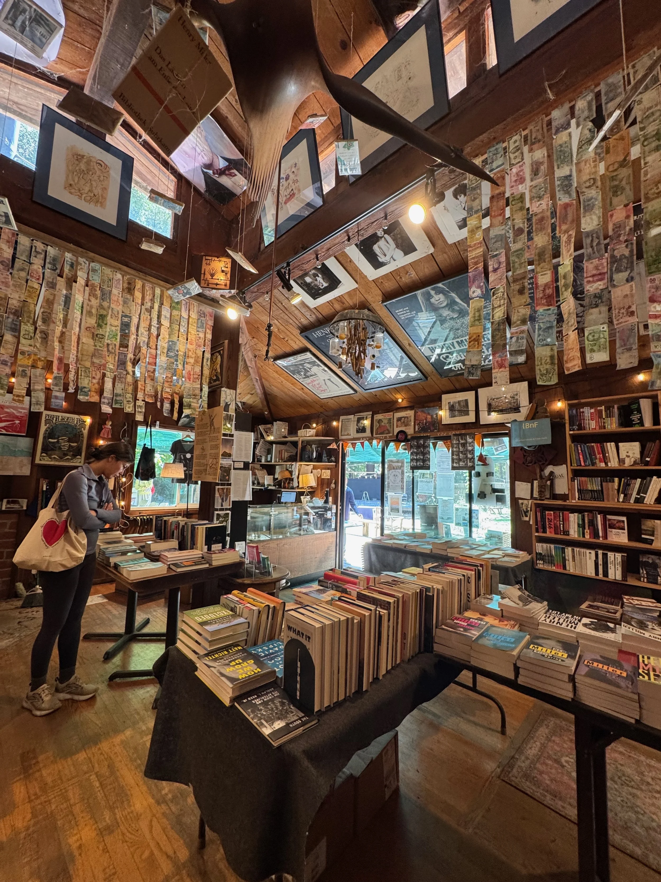
One of my favorite ways to immerse myself more into the destination we are visiting is reading a book that takes place in the same location or in a location with a similar vibe. Here is a list of several books that would be perfect to read before or during your trip across multiple genres whether you prefer to read a non-fiction book about the marine mammals that call this place home or a romance that is set in Carmel-by-the-Sea. If you can wait till you get to Big Sur, you can look for one of these books in the Henry Miller Memorial Library in Big Sur.
The Celebrants by Steven Rowley – beautiful fiction book about friendship and death, in which friends celebrate one another’s funerals while they are still alive - many of which take place in Big Sur.
The Unwedding by Ally Condie – featuring bixby bridge on the cover, this mystery thriller novel is set at a resort in Big Sur.
Big Little Lies by Liane Moriarty – while the book takes place in a fictional coastal suburb, the tv show is set in Monterey and the surrounding area. While the show is worth watching, the book series is amazing and very much benefits from the vibes given off in Monterey. A thriller with a group of neighborhood women at the center of it.
Cannery Row by John Steinbeck – this classic novel features vignettes telling the story of the Cannery Row district in Monterey and the people who live and work there in the 1930s during the depression.
Big Sur and the Oranges of Hieronymus Bosch by Henry Miller – details Miller’s life in Big Sur, where he lived for 15 years. This book is a portrait of the place and Henry Miller himself.
The Natural History of Big Sur by Paul Henson – a non-fiction book about the geology, climate, plants, animals and human history of this area.
The Hermits of Big Sur by Paula Huston – the story of the first American Camalodese monastery built in Californias and the community of monks that came and lived in Big Sur
We are spoiled here in western Washington by the shear number of gorgeous weekend getaways a few hours away. While a spontaneous trip to the San Juan Islands usually isn’t possible in the summer, it is definitely more doable in the off season. Below is a great itinerary to follow in the fall whether you have planned a year in advance or just a day.